
Hatenashi Sanmyaku Prefectural Natural Park, natural park of Wakayama prefecture, Japan
Location: Wakayama Prefecture
Location: Tanabe
Inception: April 28, 2009
Website: https://pref.wakayama.lg.jp/prefg/032000/032500/park/area/08_hatenashi
GPS coordinates: 33.89775,135.68777
Latest update: March 10, 2025 09:07
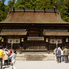
Kumano Hongū Taisha
10.2 km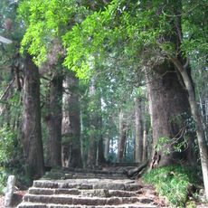
Sacred Sites and Pilgrimage Routes in the Kii Mountain Range
10.6 km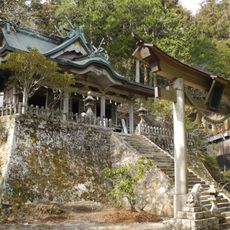
Tamaki Shrine
13.5 km
Tanize Suspension Bridge
23.7 km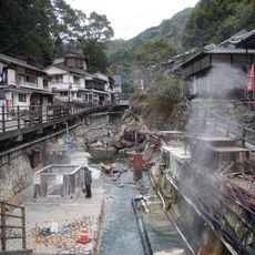
Yunomine Onsen
10 km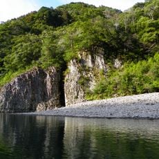
Dorokyō
18.4 km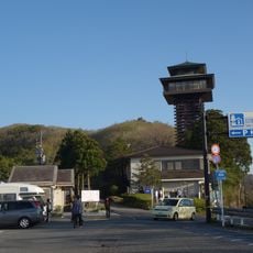
Mount Gomadan
21 km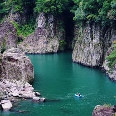
Doro-Hatchō
17.9 km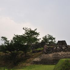
Akagi Castle
24.5 km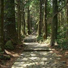
Nakahechi
21.8 km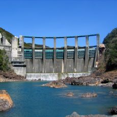
Nanairo Dam
29.9 km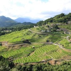
Maruyama Senmaida
24.9 km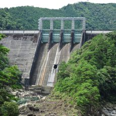
Kazeya Dam
18.8 km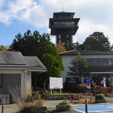
Roadside station Tanabe Ryujin Gomasan sky tower
21.5 km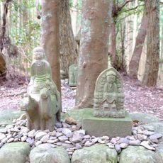
Gyūba-dōji Statue
12.5 km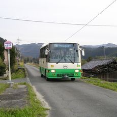
奈良交通十津川営業所
8.9 km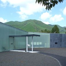
Kumanokodo Nakahechi Museum of Art
12 km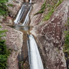
Nunobiki Falls
22.4 km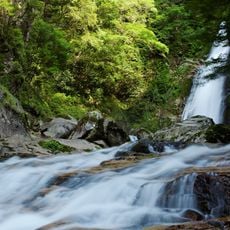
Sasa Falls
24.1 km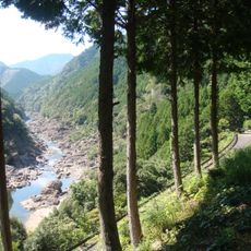
Okutoro
24.2 km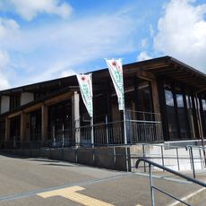
Wakayama World Heritage Center
10.5 km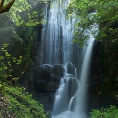
Kuwanoki Falls
30.1 km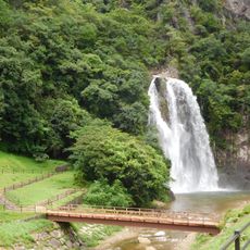
Hisetsu Falls
26.9 km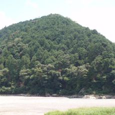
Sonaezaki Sutra Mounds
11.2 km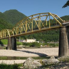
Ikehara Bridge
29.7 km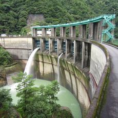
Futatsuno Dam
8.9 km
Kazeya Reservoir
18.9 km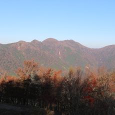
Mount Nakahachinin
22 kmReviews
Visited this place? Tap the stars to rate it and share your experience / photos with the community! Try now! You can cancel it anytime.
Discover hidden gems everywhere you go!
From secret cafés to breathtaking viewpoints, skip the crowded tourist spots and find places that match your style. Our app makes it easy with voice search, smart filtering, route optimization, and insider tips from travelers worldwide. Download now for the complete mobile experience.

A unique approach to discovering new places❞
— Le Figaro
All the places worth exploring❞
— France Info
A tailor-made excursion in just a few clicks❞
— 20 Minutes