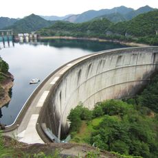
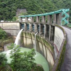
Kazeya Dam, Gravity dam in Totsukawa, Japan
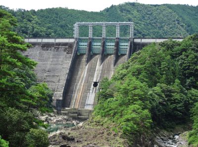
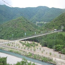
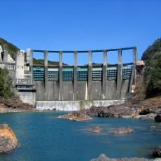
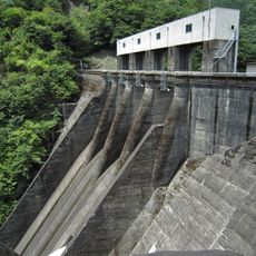
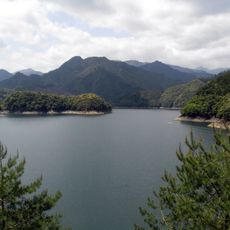
Kazeya Dam is a gravity dam made of concrete on the Kumano River in Totsukawa, Japan, standing 101 meters tall and spanning 329.5 meters across. The wall holds back a large reservoir that supplies water to the region and helps control the river's flow throughout the year.
The dam was completed in 1960 by Obayashi Corporation, during a period when Japan was rebuilding and modernizing its infrastructure after the Second World War. Working in such a remote mountain valley required building access roads and temporary facilities before construction of the dam itself could begin.
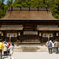
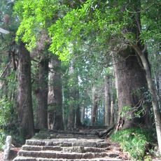
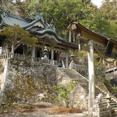
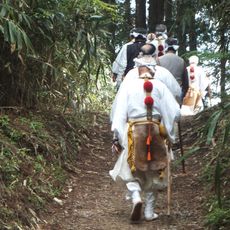
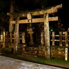
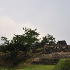
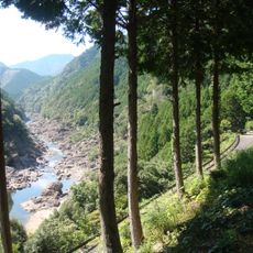
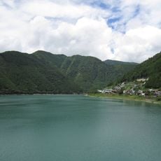
The valley where the dam sits has long been part of the Kumano pilgrimage routes, one of the oldest in Japan, and the river below still carries deep meaning for local communities. Visitors who look carefully can spot traditional settlements along the valley floor that have adapted their layout around the reservoir over generations.
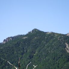
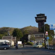
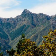
The dam is in a remote part of Nara Prefecture, and the roads leading there are narrow and winding, so having your own vehicle is the most practical option. The best views of the wall are from the lookout points near the crest, which can be reached with a short walk from the parking area.
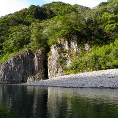
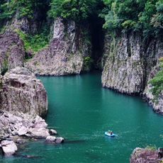
The Kumano River that the dam holds back is one of the few rivers in Japan that has never been straightened or rerouted along most of its course, which makes this stretch of the valley unusually natural for a heavily engineered site. The contrast between the concrete wall and the free-flowing river below is something visitors often notice the moment they reach the viewing area.
The community of curious travelers
AroundUs brings together thousands of curated places, local tips, and hidden gems, enriched daily by 60,000 contributors worldwide.