
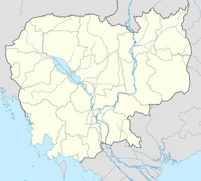
Stoung District, district of Cambodia
Location: Kampong Thom Province
GPS coordinates: 12.83330,104.58300
Latest update: March 7, 2025 03:56

Angkor Wat
100.9 km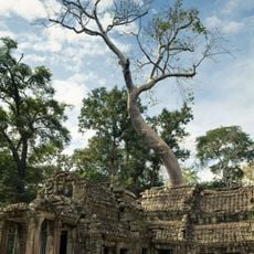
Ta Prohm
100.7 km
Phnom Kulen
100.6 km
Phnom Kulen National Park
101 km
Banteay Kdei
99.6 km
Ta Keo
102 km
Phnom Aural
99.8 km
Roluos
87.1 km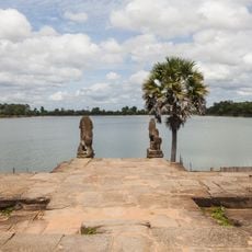
Srah Srang
99 km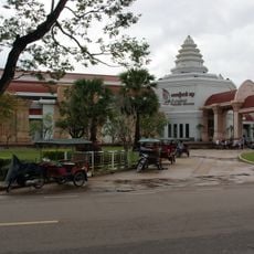
Angkor National Museum
98.3 km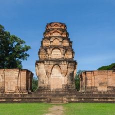
Prasat Kravan
98.7 km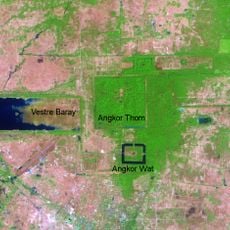
East Baray
99.1 km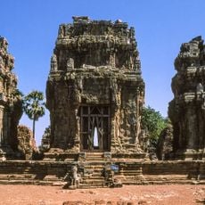
Phnom Krom
97.6 km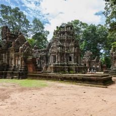
Chau Say Tevoda
102.4 km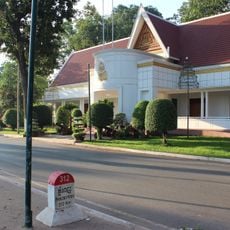
The Royal Residence
98.1 km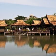
Cambodian Cultural Village
101.4 km
Tonlé Sap Biosphere Reserve
82.3 km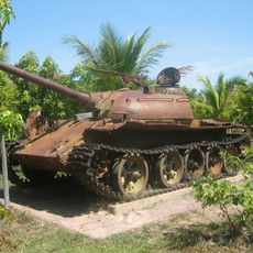
War Museum Cambodia
102.2 km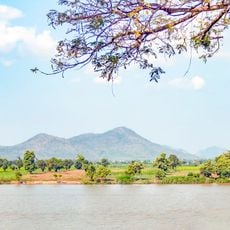
Phnom Kong Rei
59.4 km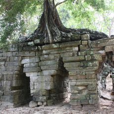
Spean Thma
102.4 km
Angkor Panorama Museum
97.3 km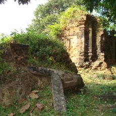
Kutisvara
99.8 km
Angkor Golf Resort
102.2 km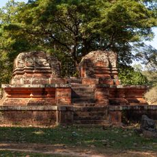
Thma Bay Kaek
102.6 km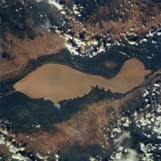
Tonle Sap
47.1 km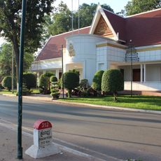
Royal Residence in Cambodia
98.1 km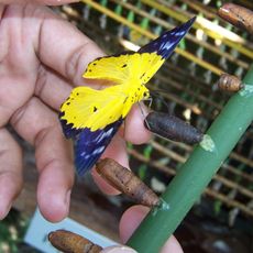
Banteay Srey Butterfly Centre
102.4 km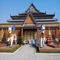
Wat Preah Prom Rath
97.8 kmReviews
Visited this place? Tap the stars to rate it and share your experience / photos with the community! Try now! You can cancel it anytime.
Discover hidden gems everywhere you go!
From secret cafés to breathtaking viewpoints, skip the crowded tourist spots and find places that match your style. Our app makes it easy with voice search, smart filtering, route optimization, and insider tips from travelers worldwide. Download now for the complete mobile experience.

A unique approach to discovering new places❞
— Le Figaro
All the places worth exploring❞
— France Info
A tailor-made excursion in just a few clicks❞
— 20 Minutes