Rajbiraj, municipality in Saptari District, Nepal
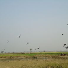
Rajbiraj is a municipality in eastern Nepal's Saptari District, situated in the flat Terai plains near the Indian border. Established in 1938 with planned urban design, the town features organized streets, a central marketplace, and distinct residential areas that distinguish it from organically grown settlements.
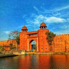
Rajbiraj emerged from the ancient Mithila kingdom, renowned for its cultural and scholarly traditions. The town was established in 1938 as Nepal's first planned city, designed following Jaipur's model, marking a departure from organically developed settlements in the region.
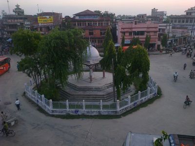
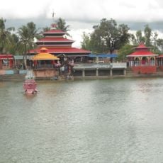
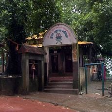
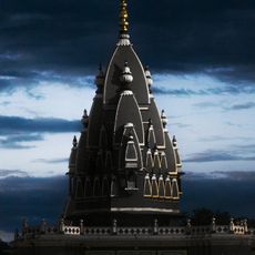
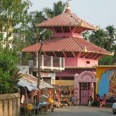
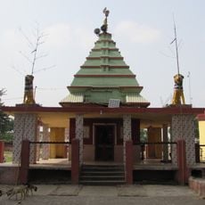
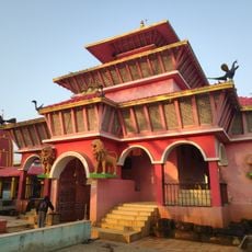
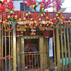
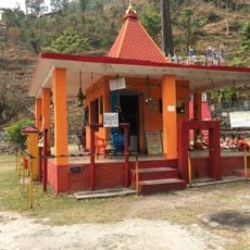
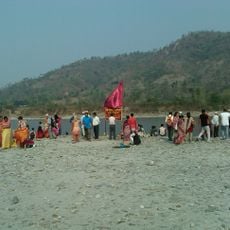
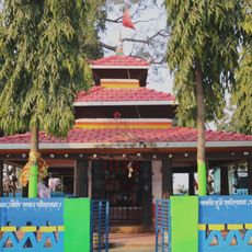
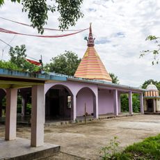
Rajbiraj reflects the diversity of the Madhesh region with temples, mosques, and multiple faith communities living together. The Rajdevi Temple serves as a gathering place for prayer and celebration, while colorful clothing and traditional music during festivals like Dashain and Tihar shape community identity throughout the year.
Rajbiraj is easily accessed via the East-West Highway and lies close to Biratnagar Airport with flights to Kathmandu. Simple guesthouses provide basic accommodation, while buses and auto-rickshaws serve as convenient local transport options.
Rajbiraj was Nepal's first city deliberately designed as a planned settlement with clear urban design principles rather than growing organically. Many buildings and streets display a pinkish tone that gives the town a distinctive visual character unlike other settlements in the region.
The community of curious travelers
AroundUs brings together thousands of curated places, local tips, and hidden gems, enriched daily by 60,000 contributors worldwide.