Chest opened
+${chestReward.xp} XP
Explorer
NOUVEAU ×${chestReward.collectible.quantity}
tapez pour fermer

See the monuments around you in AR Open chests in the app

Around Us is built for your phone — point your camera at the streets and discover the monuments and places around you in augmented reality. Around Us is built for your phone — chests unlock when you walk, explore and capture nearby places.

•

Enable Location

We need your location to show you interesting places around you

Discover nearby places

Find interesting locations and hidden gems around you

Precise directions

Get accurate directions and distances to places

Your location is never shared with other users. It's only used when you tap the location button.

Tura

Log in to your account

Start exploring — it's free

Trusted by 92,371 travelers worldwide

Continue with Google
Continue with Apple
or

We will send you a code to connect

By continuing, you accept our Terms and Conditions and our Privacy Policy

Check your inbox

We've sent a pincode in your inbox. Please enter the code below.

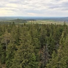
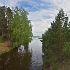
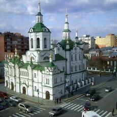
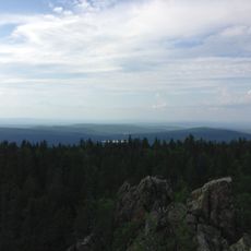
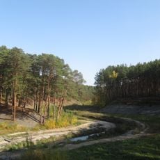
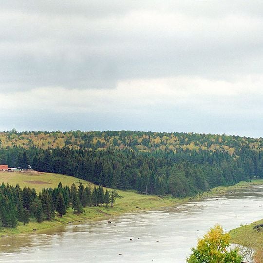
Tura, River system in Sverdlovsk and Tyumen Oblast, Russia.

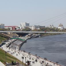
The Tura is a river in western Siberia stretching about 1097 km from the Ural Mountains to its mouth. It passes through forests and wetlands across Sverdlovsk and Tyumen regions, forming a major waterway in the landscape.

In 1558, the Stroganov family received permission from Tsar Ivan the Terrible to explore territories along the river. This marked the beginning of Russian expansion into Siberia and the opening of the region for settlement and trade.

The river links communities and the city of Tyumen, forming a backbone for daily life in the region. Local settlements along its banks have historically depended on its resources for survival and trade.

The river remains navigable for about 750 km from its mouth, though freezing in winter interrupts water transport. Best visited during warmer months when water conditions are most stable for travel along the waterway.

Three small hydroelectric stations with dams use the river's flow to generate power for the region. These facilities are discreetly integrated into the landscape but provide significant energy for the Ural area.

The community of curious travelers

AroundUs brings together thousands of curated places, local tips, and hidden gems, enriched daily by 92,371 contributors worldwide.

Start exploring
Location
GPS coordinates
57.98322,63.15633
Latest update
October 9, 2026 20:27
Around this place
Leaning Tower of Nevyansk
Russian Federation

Leaning Tower of Nevyansk

113.5 mi
Uralskaya Superdeep Borehole
Russian Federation

Uralskaya Superdeep Borehole

127.9 mi
Most vlyublennyh
Russian Federation

Most vlyublennyh

104.4 mi
Kachkanar
Russian Federation

Kachkanar

146.8 mi
Visimskiy State Natural Biosphere Reserve
Russian Federation

Visimskiy State Natural Biosphere Reserve

138.6 mi
Bshad sgrub gling
Russian Federation

Bshad sgrub gling

148.6 mi
Titanium Valley
Russian Federation

Titanium Valley

97.4 mi
Holy Trinity Monastery
Russian Federation

Holy Trinity Monastery

103.9 mi
Ushkovskaya Kanava
Russian Federation

Ushkovskaya Kanava

124 mi
Church of the Saviour
Russian Federation

Church of the Saviour

105.1 mi
Belaya Mountain
Russian Federation

Belaya Mountain

128.7 mi
Blagodat
Russian Federation

Blagodat

124.8 mi
Nevyansk Icon Museum
Russian Federation

Nevyansk Icon Museum

113.7 mi
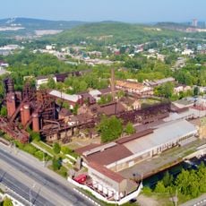
Nizhny Tagil iron and steel plant
Russian Federation

Nizhny Tagil iron and steel plant

117.9 mi
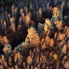
Seven Brothers and One Sister Rocks
Russian Federation

Seven Brothers and One Sister Rocks

120 mi
Cathedral of the Theotokos of the Sign
Russian Federation

Cathedral of the Theotokos of the Sign

104.9 mi
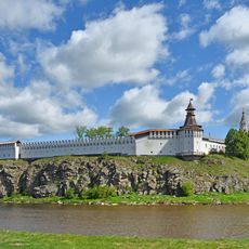
Verkhoturye Kremlin
Russian Federation

Verkhoturye Kremlin

104.5 mi
Загородный сад (Тюмень)
Russian Federation

Загородный сад (Тюмень)

106.1 mi
Алапаевский металлургический завод
Russian Federation

Алапаевский металлургический завод

54.3 mi
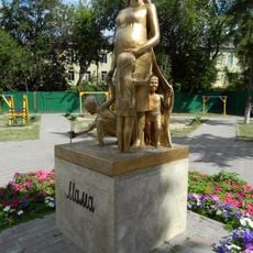
Памятник маме (Тюмень)
Russian Federation

Памятник маме (Тюмень)

105.6 mi
Gilevo grove
Russian Federation

Gilevo grove

109.3 mi
Tekutyev cemetery
Russian Federation

Tekutyev cemetery

106.7 mi
Monument to the Fighters of the Revolution
Russian Federation

Monument to the Fighters of the Revolution

104.8 mi
Kirillov's house
Russian Federation

Kirillov's house

107.6 mi
Dmitry Mamin-Sibiryak Drama Theatre
Russian Federation

Dmitry Mamin-Sibiryak Drama Theatre

117.1 mi
Tyumen Philharmonic
Russian Federation

Tyumen Philharmonic

105.1 mi
Яланғас таш
Russian Federation

Яланғас таш

120.3 mi
Geolog Stadium
Russian Federation

Geolog Stadium

104.3 mi
Show the full map
Reviews
Share your experience

No review yet

Discussions
Start a discussion...

No discussion yet

« Tura - River system in Sverdlovsk and Tyumen Oblast, Russia » is provided by Around Us (aroundus.com). Images and texts are derived from Wikimedia project under a Creative Commons license. You are allowed to copy, distribute, and modify copies of this page, under the conditions set by the license, as long as this note is clearly visible.

Discover hidden gems everywhere you go!

From secret cafés to breathtaking viewpoints, skip the crowded tourist spots and find places that match your style. Our app makes it easy with voice search, smart filtering, route optimization, and insider tips from travelers worldwide. Download now for the complete mobile experience.

Around Us App Screenshot
❝

A unique approach to discovering new places❞

— Le Figaro

❝

All the places worth exploring❞

— France Info

❝

A tailor-made excursion in just a few clicks❞

— 20 Minutes

Around Us
Travel Guide & Maps
Download

Send to your phone

QR Code
1

Open the camera app on your mobile.

2

Point at the QR code with your camera. A notification will appear.

3

Tap the notification to open the link.