
Kamberdede Tepe, Berggipfel in der Türkei
Location: Adıyaman Province
Elevation above the sea: 1,622 m
GPS coordinates: 37.73410,37.68490
Latest update: March 5, 2025 17:28
Zeugma
76.9 km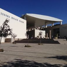
Zeugma Mosaic Museum
78 km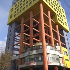
Kahramanmaraş Piramit building
69.3 km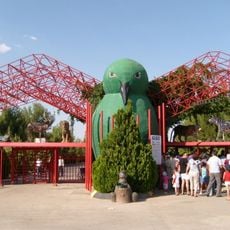
Gaziantep Zoo
84.6 km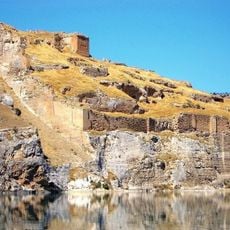
Rumkale
53.3 km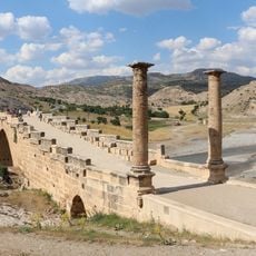
Severan Bridge
84.1 km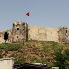
Gaziantep Castle
79 km
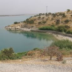
Apamea on the Euphrates
76.3 km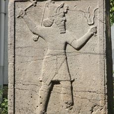
Gaziantep Museum of Archaeology
79.1 km
Domuztepe
73.5 km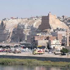
Birecik Kalesi
82.4 km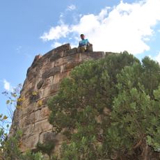
Maraş Castle
68.9 km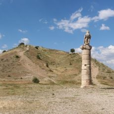
Karakuş
80.8 km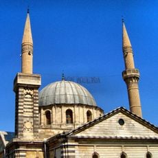
Liberation mosque
79.8 km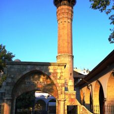
Maraş Mosque
68.9 km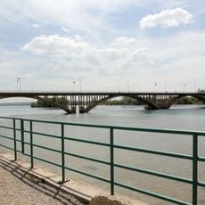
Birecik Bridge
82.9 km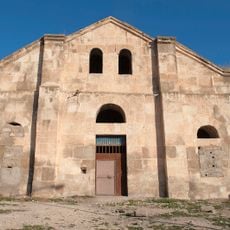
Fevkani Church
80.9 km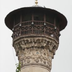
Boyacı Mosque
79.3 km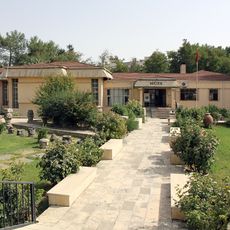
Adıyaman Archaeological Museum
52.3 km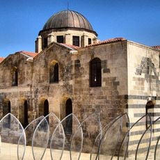
St. Peter's Church, Gaziantep
80 km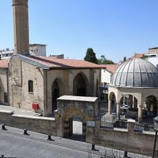
Şirvani Mosque
79.1 km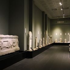
Archaeological museum Kahramanmaraş
69.2 km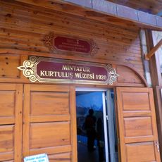
Kahramanmaraş Liberation Museum
68.9 km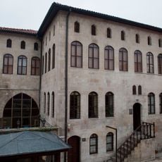
Gaziantep Mevlevi Culture and Foundation Works Museums
79.4 km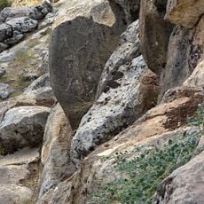
Karasu relief
39.1 km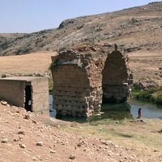
Karasu
43.3 km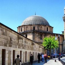
Alaüddevle Mosque
79.3 km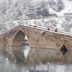
Ceyhan Bridge
79.1 kmReviews
Visited this place? Tap the stars to rate it and share your experience / photos with the community! Try now! You can cancel it anytime.
Discover hidden gems everywhere you go!
From secret cafés to breathtaking viewpoints, skip the crowded tourist spots and find places that match your style. Our app makes it easy with voice search, smart filtering, route optimization, and insider tips from travelers worldwide. Download now for the complete mobile experience.

A unique approach to discovering new places❞
— Le Figaro
All the places worth exploring❞
— France Info
A tailor-made excursion in just a few clicks❞
— 20 Minutes