East Northamptonshire, local government district in Northamptonshire, England
Location: Northamptonshire
Inception: April 1, 1974
Capital city: Thrapston
Website: http://east-northamptonshire.gov.uk
GPS coordinates: 52.45000,-0.50000
Latest update: March 7, 2025 06:34
Fotheringhay Castle
9.3 km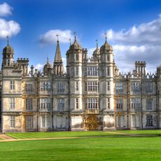
Burghley House
21.7 km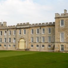
Kimbolton Castle
18.8 km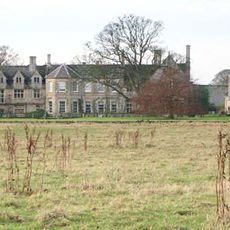
Barnwell Manor
3 km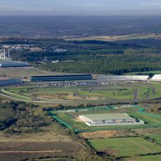
Rockingham Motor Speedway
12.9 km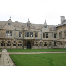
Apethorpe Hall
10.9 km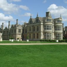
Kirby Hall
12.4 km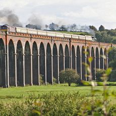
Welland Viaduct
17.1 km
Lyveden New Bield
3.7 km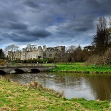
Deene Park
10.7 km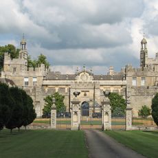
Drayton House
7.3 km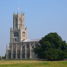
Church of St Mary and All Saints, Fotheringhay
9.4 km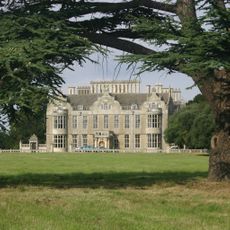
Lilford Hall
1 km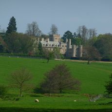
Elton Hall
10.7 km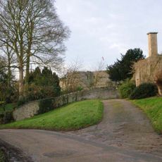
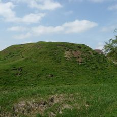
Barnwell Castle
2.9 km
Ashton Wold
7.7 km
Durobrivae
15.6 km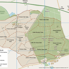
Bedford Purlieus National Nature Reserve
15.1 km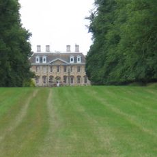
Walcot Hall
20.4 km
Barnack Hills & Holes National Nature Reserve
20.6 km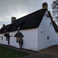
Clare Cottage
23 km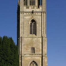
St Peter's Church, Lowick
5.6 km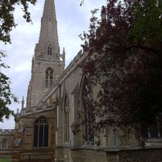
St. Mary's Church, Higham Ferrers
17.1 km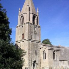
St John the Baptist's Church, Barnack
21.3 km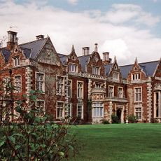
Finedon Hall
16.7 km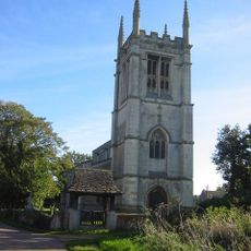
All Saints Church, Aldwincle
3.2 km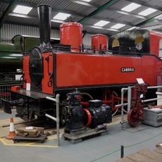
Irchester Narrow Gauge Railway Museum
21.9 km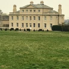
Ufford Hall
21 kmVisited this place? Tap the stars to rate it and share your experience / photos with the community! Try now! You can cancel it anytime.
Discover hidden gems everywhere you go!
From secret cafés to breathtaking viewpoints, skip the crowded tourist spots and find places that match your style. Our app makes it easy with voice search, smart filtering, route optimization, and insider tips from travelers worldwide. Download now for the complete mobile experience.

A unique approach to discovering new places❞
— Le Figaro
All the places worth exploring❞
— France Info
A tailor-made excursion in just a few clicks❞
— 20 Minutes