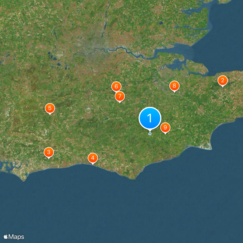
Weald, Natural barrier between London Basin and English Channel in Southeast England.
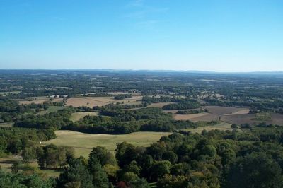
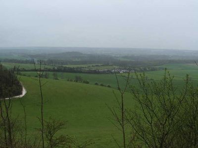
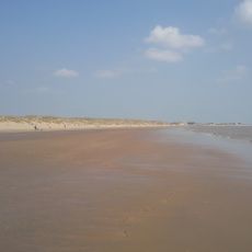
The Weald is a geographical area in southeast England that extends across several counties between the London Basin and the English Channel. The landscape consists of gently rolling clay valleys, wooded ridges and the higher Greensand Ridge running through the region.
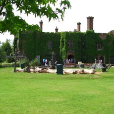
During the Iron Age, inhabitants built extensive ironworking sites here because ironstone and timber for charcoal were plentiful. Later, in medieval times, the region supplied iron for weapons and tools before production ended in the 18th century.
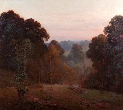
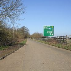
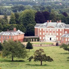
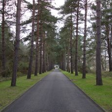
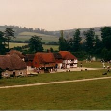
The name derives from an Old English word meaning forest, reflecting how this area once formed a dense woodland barrier that travelers found difficult to cross. Today the countryside combines working farms, villages and patches of woodland that walkers and cyclists navigate along marked trails.
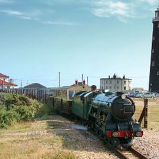
Several railway lines and motorways cross the area and connect the towns within it. Walkers should wear sturdy footwear because clay soils can become slippery after rain.
The rock layers reveal the remains of an eroded dome formation that erosion has exposed over time. Within these deposits, scientists discovered the skeleton of a Baryonyx, a fish-eating dinosaur from the Cretaceous period.
The community of curious travelers
AroundUs brings together thousands of curated places, local tips, and hidden gems, enriched daily by 60,000 contributors worldwide.