Glenridding, village in the United Kingdom
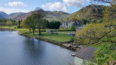
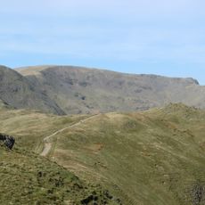
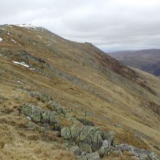
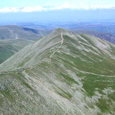
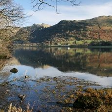
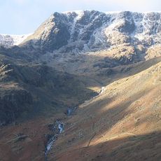
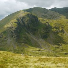
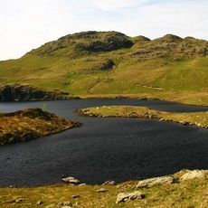
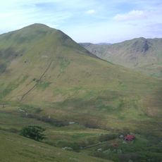
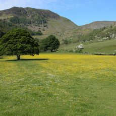
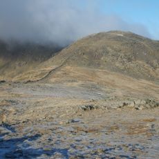
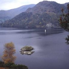
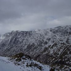
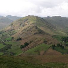
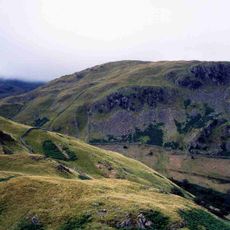
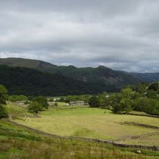
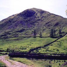
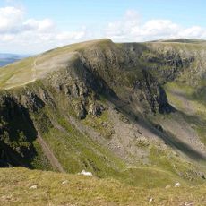
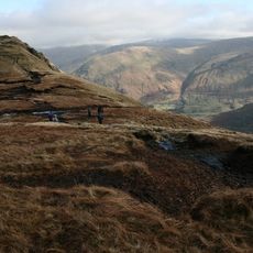
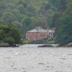
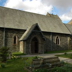
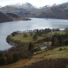
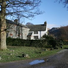
Glenridding is a small village at the southern end of Ullswater lake in the Lake District, England. Stone houses and narrow paths sit between the surrounding hills, with the lake visible from much of the village.
The village grew up around the Greenside Lead Mine, where extraction began in the 17th century and continued for over 300 years. When mining finally stopped in the early 1960s, the settlement slowly shifted toward the tourism it is known for today.
The name Glenridding comes from old words meaning 'valley overgrown with bracken.' Many visitors today arrive to board the Ullswater Steamer, a passenger boat service that has connected the village to the rest of the lake for generations.
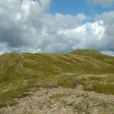
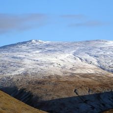
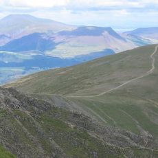
The village is reachable by car or bus and works well as a base for walking in the surrounding hills. There are shops, cafes, and places to stay, and the Ullswater Steamer jetty is a short walk from the center.
After the mine closed, the tunnels were used for underground explosions to test whether nuclear weapons tests could be detected from a distance through seismic monitoring. These experiments, carried out during the Cold War, left almost no visible trace in the landscape above.
The community of curious travelers
AroundUs brings together thousands of curated places, local tips, and hidden gems, enriched daily by 60,000 contributors worldwide.