Hooker County, County seat in western Nebraska, United States
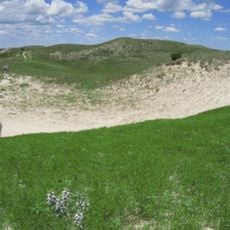
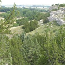
Hooker County is an administrative county in the Sandhills region of western Nebraska, and is among the least populated counties in the state. The Middle Loup River flows through its northern section, and rolling grass-covered hills shape most of the surrounding land.
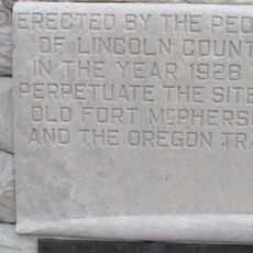
The county was established in 1889, when the Chicago, Burlington and Quincy Railroad laid its line through the area and brought new settlers along with it. It was named after General Joseph Hooker, a Union Army commander during the Civil War.
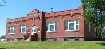
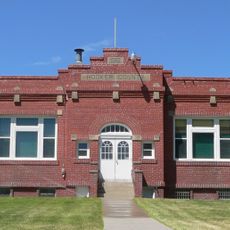
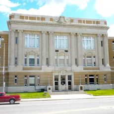
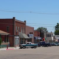
The courthouse in Mullen is the only real public gathering point for the entire county, drawing residents from remote ranches and farms. Because the community is so small, nearly everyone who visits knows the others by name.
Mullen, the county seat, sits well off the main highways, so getting there takes some planning and a reliable vehicle. The county runs on Mountain Time rather than the Central Time used in most of Nebraska, so it is worth keeping that in mind before scheduling anything.
In the early 1920s, Hooker County had fewer registered vehicles than any other Nebraska county and was assigned the license plate prefix 93, which reflected its rank at the bottom of the list. That number was not random but part of a system where lower populations received higher prefix numbers.
The community of curious travelers
AroundUs brings together thousands of curated places, local tips, and hidden gems, enriched daily by 60,000 contributors worldwide.