
Reynolds County, County in Missouri, United States.
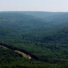
Reynolds County encompasses 814 square miles of land in the Ozark Foothills Region, featuring rolling hills, flowing streams, and dense forests throughout its territory.
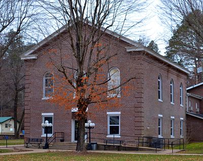
The county was established on February 25, 1845, named after Missouri Governor Thomas Reynolds, and experienced courthouse fires in 1863 during the Civil War.
The population of Reynolds County maintains strong religious connections, with Southern Baptist churches serving as central gathering points for community activities.
Missouri Routes 21, 49, 72, and 106 provide transportation access throughout Reynolds County, connecting its communities including Centerville, Bunker, and Ellington.
Johnson's Shut-Ins State Park within Reynolds County presents natural water formations where the Black River cascades through ancient volcanic rock formations.
Location: Missouri
Inception: 1845
Capital city: Centerville
Shares border with: Iron County, Carter County, Dent County, Shannon County, Wayne County
GPS coordinates: 37.36000,-90.97000
Latest update: April 21, 2025 12:38
Taum Sauk Mountain
31.7 km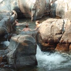
Johnson's Shut-Ins State Park
23.2 km
Elephant Rocks State Park
41.1 km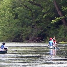
Ozark National Scenic Riverways
33 km
Echo Bluff State Park
39 km
Sam A. Baker State Park
42.5 km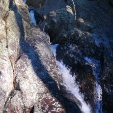
Taum Sauk Mountain State Park
31.7 km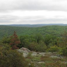
Bell Mountain Wilderness
31.3 km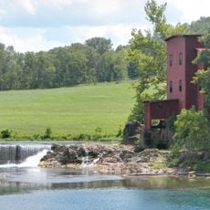
Dillard Mill State Historic Site
45 km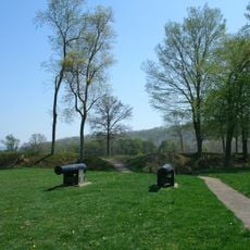
Fort Davidson
41.8 km
Arcadia College
39 km
Current River State Park
41.5 km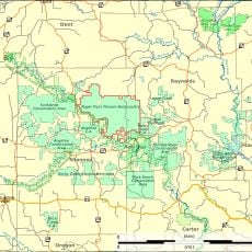
Roger Pryor Pioneer Backcountry
40.1 km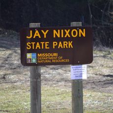
Jay Nixon State Park
30.8 km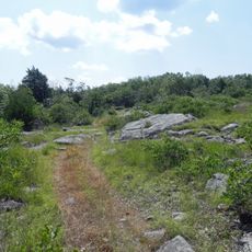
Buford Mountain Conservation Area
45.9 km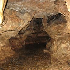
Current River Cavern
43 km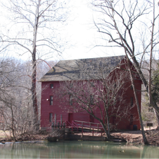
Alley Spring Roller Mill
47.7 km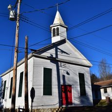
Immanuel Evangelical Lutheran Church
41.5 km
St. Paul's Episcopal Church
40.4 km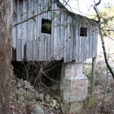
Walter Klepzig Mill and Farm
33.1 km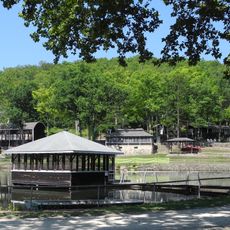
Alton Club
41.4 km
Big Spring Historic District
45.8 km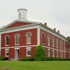
Iron County Courthouse
40.2 km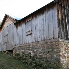
Reed Log House
29 km
Ironton Lodge Hall
40.2 km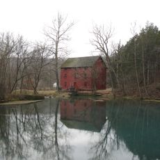
Alley Spring
47.6 km
Pulltite
44.9 km
Carter County Courthouse
40.8 kmReviews
Visited this place? Tap the stars to rate it and share your experience / photos with the community! Try now! You can cancel it anytime.

Discover hidden gems everywhere you go!
From secret cafés to breathtaking viewpoints, skip the crowded tourist spots and find places that match your style. Our app makes it easy with voice search, smart filtering, route optimization, and insider tips from travelers worldwide. Download now for the complete mobile experience.

A unique approach to discovering new places❞
— Le Figaro
All the places worth exploring❞
— France Info
A tailor-made excursion in just a few clicks❞
— 20 Minutes