Reynolds County, County in Missouri, United States.
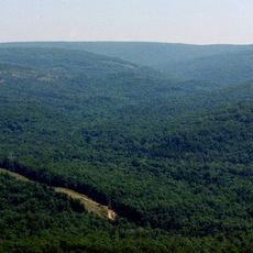
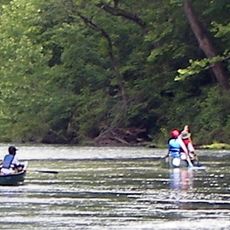
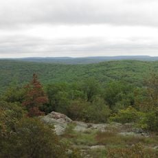
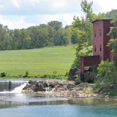
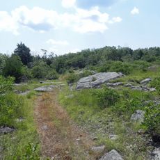
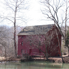
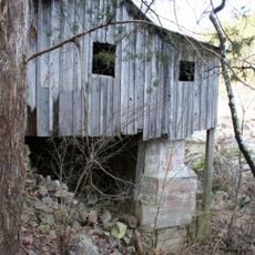
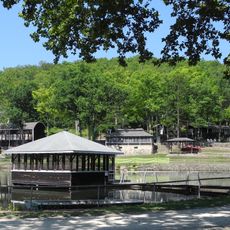
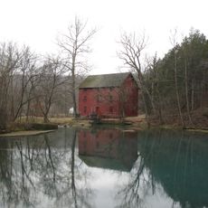
Reynolds County sits in the Ozark Foothills and is shaped by rolling hills, flowing streams, and dense forests that cover much of the area. The landscape combines natural features with various water sources and wooded sections that define the character of the region.
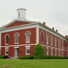
The county was established in 1845 and named after Missouri's governor at that time, Thomas Reynolds. During the Civil War, the region experienced significant damage, including the destruction of key buildings.
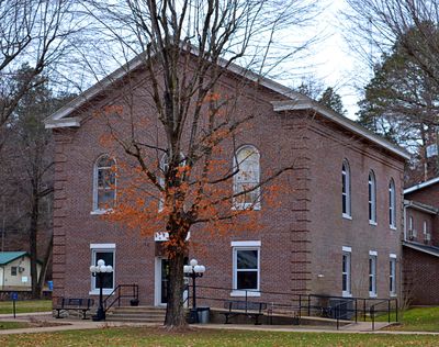
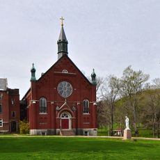
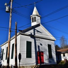
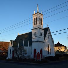
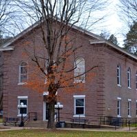
The towns here have deep roots in religious tradition, particularly through their Baptist churches, which serve as gathering places for community life.
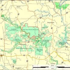
The main roads are Routes 21, 49, 72, and 106, which connect the major towns and allow travel through the area. Visitors should carry enough fuel and bring a map, especially if exploring more remote sections.
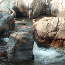
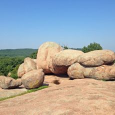
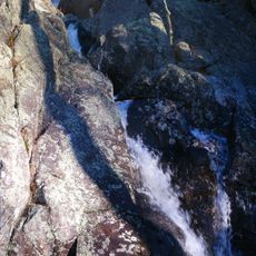
Johnson's Shut-Ins State Park showcases a rare geological formation where the Black River flows through ancient volcanic rock and creates natural basins. These water cascades are among the region's most striking natural features.
The community of curious travelers
AroundUs brings together thousands of curated places, local tips, and hidden gems, enriched daily by 60,000 contributors worldwide.