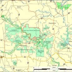
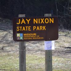
Ozark National Scenic Riverways, National river system in Shannon County, United States
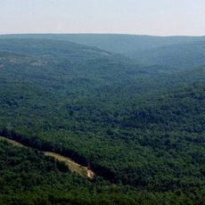
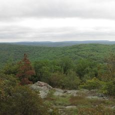
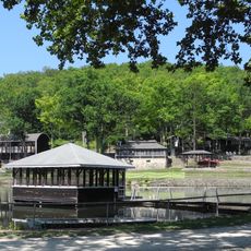
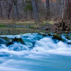
Ozark National Scenic Riverways is a protected river system featuring the Current and Jacks Fork rivers, both fed by spring water that keeps the flow remarkably clear year-round. The protected area spreads across roughly 80,000 acres with varied landscapes including river banks, forests, and open spaces.
Congress created this as the first nationally protected river system in the United States in 1964, with its official opening to the public in 1971. This designation represented a turning point in how the nation managed river landscapes.
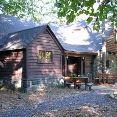
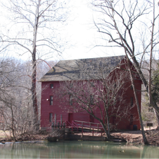
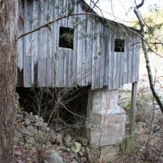
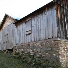
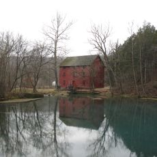
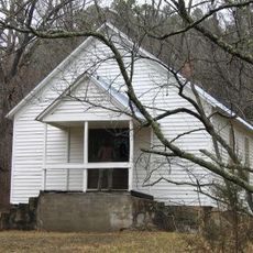
The Big Spring Historic District shows how people once built their homes and lived along the rivers in this region. Walking through the structures, you can sense the daily routines and choices of earlier generations.
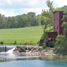
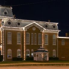
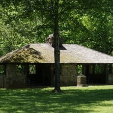
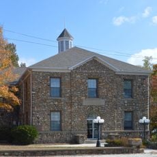
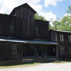
Three ranger stations are spread across the area offering information and access to activities, with one featuring a historic mill and store. Visiting a station first helps you understand which sections suit your interests and current conditions.
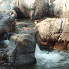
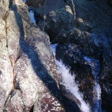
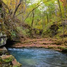
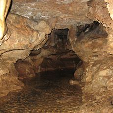
This area holds the highest concentration of first magnitude springs in the entire country, formed within ancient dolomite rock layers. The geological process creates water so clear that it appears almost weightless, a result of natural filtering through stone over countless years.
The community of curious travelers
AroundUs brings together thousands of curated places, local tips, and hidden gems, enriched daily by 60,000 contributors worldwide.