
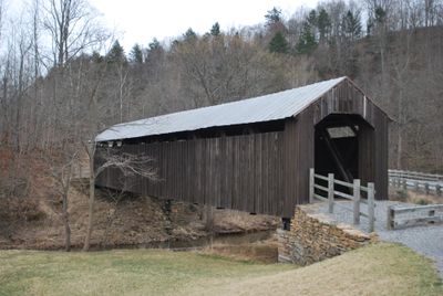
Locust Creek Covered Bridge, covered bridge in Pocahontas County, West Virginia
Location: West Virginia
Inception: 1870
GPS coordinates: 38.07940,-80.25030
Latest update: September 23, 2025 16:46
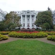
The Greenbrier
33.1 km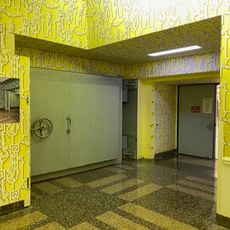
Project Greek Island
33 km
Lost World Caverns
32.4 km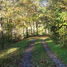
Greenbrier River Trail
20.9 km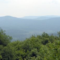
Cranberry Wilderness
23.1 km
Beartown State Park
3.8 km
Watoga State Park
9.2 km
Droop Mountain Battlefield State Park
3.9 km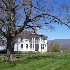
Pearl S. Buck Birthplace
8 km
Big Draft Wilderness
17.7 km
Spice Run Wilderness
4.3 km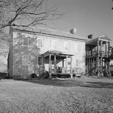
Renick Farm
13.9 km
Sunshine Farm and Gardens
16.2 km
Wood Hall
33.2 km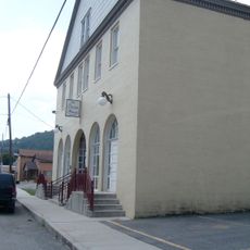
Pocahontas County Opera House
21 km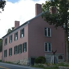
Supreme Court Library Building
35.3 km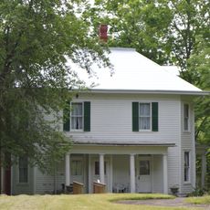
Frank and Anna Hunter House
20.5 km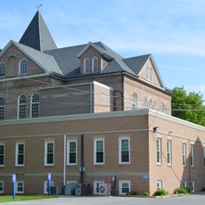
Pocahontas County Courthouse and Jail
20.9 km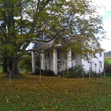
Edgefield
13.1 km
Pleasant Green Methodist Episcopal Church
8.7 km
Downtown Richwood Historic District
29.6 km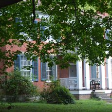
Gov. Samuel Price House
35 km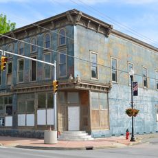
IOOF Lodge Building
21.1 km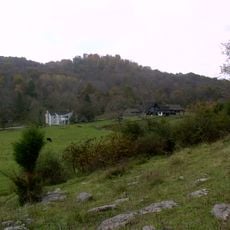
McClung's Price Place
25.2 km
Droop Mountain Battlefield State Park
4.1 km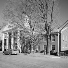
Greenbrier County Courthouse
35.2 km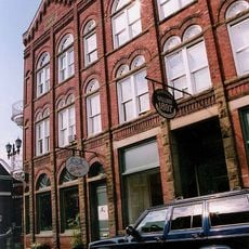
Lewisburg Historic District
32.9 km
James Withrow House
35 kmReviews
Visited this place? Tap the stars to rate it and share your experience / photos with the community! Try now! You can cancel it anytime.
Discover hidden gems everywhere you go!
From secret cafés to breathtaking viewpoints, skip the crowded tourist spots and find places that match your style. Our app makes it easy with voice search, smart filtering, route optimization, and insider tips from travelers worldwide. Download now for the complete mobile experience.

A unique approach to discovering new places❞
— Le Figaro
All the places worth exploring❞
— France Info
A tailor-made excursion in just a few clicks❞
— 20 Minutes