Chest opened
+${chestReward.xp} XP
Explorer
NOUVEAU ×${chestReward.collectible.quantity}
tapez pour fermer
Chest locked

Open chests in the app

Around Us is built for your phone — chests unlock when you walk, explore and capture nearby places.

Enable Location

We need your location to show you interesting places around you

Discover nearby places

Find interesting locations and hidden gems around you

Precise directions

Get accurate directions and distances to places

Your location is never shared with other users. It's only used when you tap the location button.

Log in to your account

Start exploring — it's free

Trusted by 72,880 travelers worldwide

Continue with Google
Continue with Apple
or

We will send you a code to connect

By continuing, you accept our Terms and Conditions and our Privacy Policy

Check your inbox

We've sent a pincode in your inbox. Please enter the code below.

Discussion Reviews Photo
24.3k Popularity

Penn Valley, Residential community in Montgomery County, Pennsylvania.

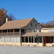
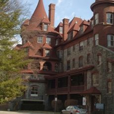
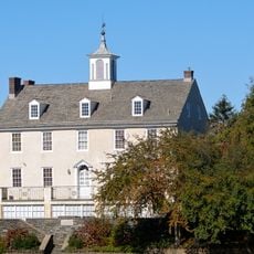
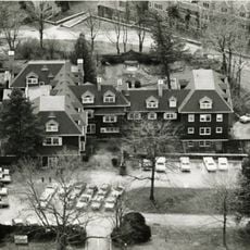
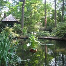
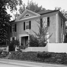
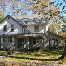
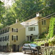
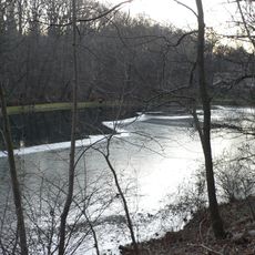
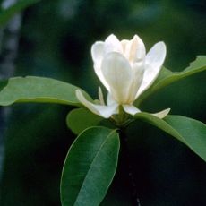
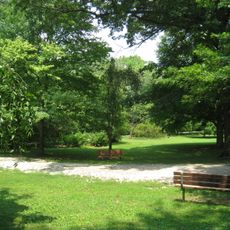
Penn Valley is a residential community in Lower Merion Township characterized by sloping terrain that descends toward Gulley Run Creek and Mill Creek in the Philadelphia Main Line area. The landscape consists primarily of houses set among trees and natural vegetation across the varied topography.

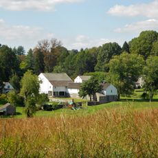
The area transformed from agricultural land to suburban development beginning in the 1930s, marking the shift from its rural origins. This transition established the residential character that defines the community today.

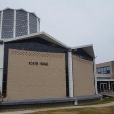
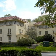
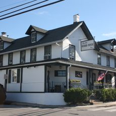
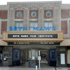
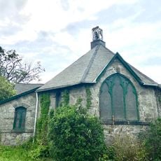
The community reflects a residential character shaped by its location on the Philadelphia Main Line, where local institutions serve as gathering spaces for neighbors. The area maintains ties to its earlier rural past through preserved green spaces and tree-lined streets.

The community is served by SEPTA bus services and nearby train stations that connect to Philadelphia and surrounding areas. Transportation options make it accessible for those commuting to employment or visiting nearby destinations.

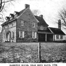
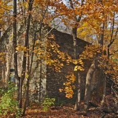
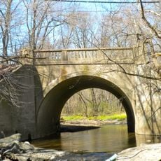
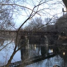
Mill Creek, flowing through the community, once powered stone mills dating to the late 1600s and early 1700s that processed various materials. Today the stream runs through the residential landscape where few signs of this industrial past remain.

The community of curious travelers

AroundUs brings together thousands of curated places, local tips, and hidden gems, enriched daily by 60,000 contributors worldwide.

Start exploring
GPS coordinates
40.02190,-75.26830
Latest update
December 20, 2025 12:45
Around this place
General Wayne Inn
United States of America

General Wayne Inn

1.9 km
West Laurel Hill Cemetery
United States of America

West Laurel Hill Cemetery

3.9 km
Suntop Homes
United States of America

Suntop Homes

3.2 km
Baldwin School
United States of America

Baldwin School

3.8 km
Manayunk Bridge
United States of America

Manayunk Bridge

3.6 km
Bala Cynwyd Junior High School Complex
United States of America

Bala Cynwyd Junior High School Complex

2.4 km
Bryn Mawr College Deanery
United States of America

Bryn Mawr College Deanery

4 km
Harriton House
United States of America

Harriton House

3.9 km
Temple Adath Israel of the Main Line
United States of America

Temple Adath Israel of the Main Line

3.4 km
Arboretum of the Barnes Foundation
United States of America

Arboretum of the Barnes Foundation

3.5 km
Old Library
United States of America

Old Library

3.9 km
Whitehall Apartments
United States of America

Whitehall Apartments

3.1 km
Pont Reading
United States of America

Pont Reading

4.1 km
Idlewild Farm Complex
United States of America

Idlewild Farm Complex

2.6 km
Upper Roxborough Historic District
United States of America

Upper Roxborough Historic District

4.3 km
Narbrook Park Historic District
United States of America

Narbrook Park Historic District

1.6 km
St. Josaphat Roman Catholic Church in Philadelphia
United States of America

St. Josaphat Roman Catholic Church in Philadelphia

4 km
City Line Avenue Bridge
United States of America

City Line Avenue Bridge

4.1 km
Green Lane Bridge
United States of America

Green Lane Bridge

3.5 km
Mill Creek Historic District
United States of America

Mill Creek Historic District

1.5 km
Dove Lake
United States of America

Dove Lake

2.2 km
Gladwyne Historic District
United States of America

Gladwyne Historic District

2 km
Henry Foundation for Botanical Research
United States of America

Henry Foundation for Botanical Research

1.8 km
Seville Theatre
United States of America

Seville Theatre

4.3 km
Mule Bridge
United States of America

Mule Bridge

4.2 km
House of Prayer Episcopal Church, Philadelphia
United States of America

House of Prayer Episcopal Church, Philadelphia

1 km
Merion Botanical Park
United States of America

Merion Botanical Park

3.4 km
James Dobson Elementary School
United States of America

James Dobson Elementary School

3.4 km
Show the full map
Reviews
Share your experience

No review yet

Discussions
Start a discussion...

No discussion yet

« Penn Valley - Residential community in Montgomery County, Pennsylvania » is provided by Around Us (aroundus.com). Images and texts are derived from Wikimedia project under a Creative Commons license. You are allowed to copy, distribute, and modify copies of this page, under the conditions set by the license, as long as this note is clearly visible.

Discover hidden gems everywhere you go!

From secret cafés to breathtaking viewpoints, skip the crowded tourist spots and find places that match your style. Our app makes it easy with voice search, smart filtering, route optimization, and insider tips from travelers worldwide. Download now for the complete mobile experience.

Around Us App Screenshot

A unique approach to discovering new places

Le Figaro

All the places worth exploring

France Info

A tailor-made excursion in just a few clicks

20 Minutes

Around Us
Travel Guide & Maps
Download

Send to your phone

QR Code
1

Open the camera app on your mobile.

2

Point at the QR code with your camera. A notification will appear.

3

Tap the notification to open the link.