Chest opened
+${chestReward.xp} XP
Explorer
NOUVEAU ×${chestReward.collectible.quantity}
tapez pour fermer

See the monuments around you in AR Open chests in the app

Around Us is built for your phone — point your camera at the streets and discover the monuments and places around you in augmented reality. Around Us is built for your phone — chests unlock when you walk, explore and capture nearby places.

Enable Location

We need your location to show you interesting places around you

Discover nearby places

Find interesting locations and hidden gems around you

Precise directions

Get accurate directions and distances to places

Your location is never shared with other users. It's only used when you tap the location button.

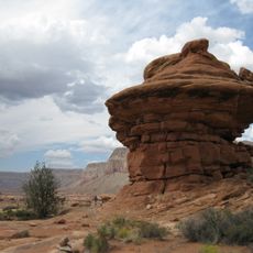
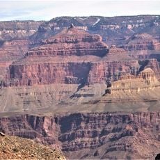
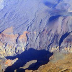
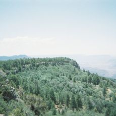
Uinkaret volcanic field

Log in to your account

Start exploring — it's free

Trusted by 86,810 travelers worldwide

Continue with Google
Continue with Apple
or

We will send you a code to connect

By continuing, you accept our Terms and Conditions and our Privacy Policy

Check your inbox

We've sent a pincode in your inbox. Please enter the code below.

Uinkaret volcanic field
Discussion Reviews 1 Photos
6.5k Popularity

Uinkaret volcanic field, Volcanic field in northwestern Arizona, United States

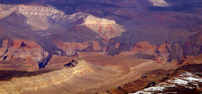
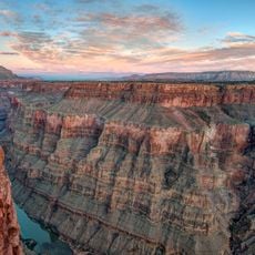
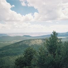
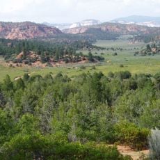
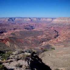
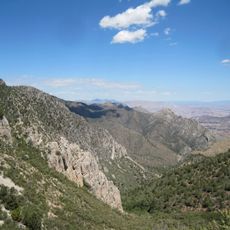
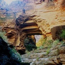
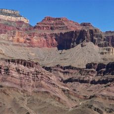
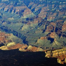
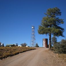
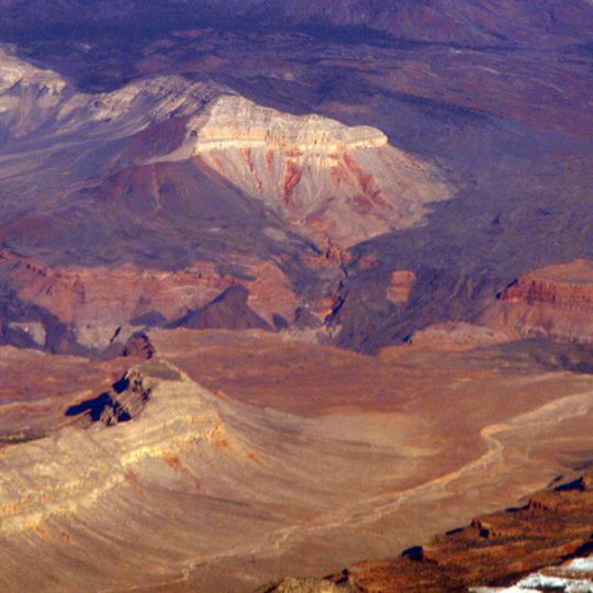
Uinkaret volcanic field is a broad expanse of volcanic cones and basaltic lava flows in northwestern Arizona, sitting between the Toroweap and Hurricane faults near the Grand Canyon. The ground across the field is dark and broken, shaped by layers of hardened lava that cover much of the surface.

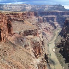
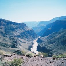
Hundreds of thousands of years ago, lava erupting from this field repeatedly flowed into the Grand Canyon and blocked the Colorado River, forming natural dams that altered the river's path. Over time, the river cut through those barriers and left behind the broken terrain that defines the area today.

The area holds traces of early settlement from a time when people lived here while volcanic activity was still ongoing around them. Pottery fragments found across the terrain tell of daily life carried out on ground that was still geologically young.

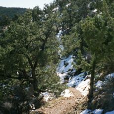
The field sits in a remote part of northwestern Arizona and is reached by unpaved roads, so a high-clearance vehicle is strongly advisable. The volcanic surface is rough and uneven underfoot, making sturdy footwear necessary for any time spent walking across the terrain.

Lava Falls, widely considered the fiercest rapids on the Colorado River through the Grand Canyon, owes its character to deposits that came directly from this field. Standing at the rim above them, you can see how the old lava rock still narrows the riverbed and drives the water into a fury.

The community of curious travelers

AroundUs brings together thousands of curated places, local tips, and hidden gems, enriched daily by 60,000 contributors worldwide.
Start exploring
Location
Elevation above the sea
1,555 m
GPS coordinates
36.38000,-113.13000
Latest update
September 12, 2026 08:56
Around this place
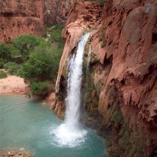
Havasu Falls
United States of America

Havasu Falls

25.6 mi
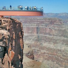
Colin Grand Canyon Skywalk
United States of America

Colin Grand Canyon Skywalk

45.8 mi
Vermilion Cliffs
United States of America

Vermilion Cliffs

41 mi
Pipe Spring National Monument
United States of America

Pipe Spring National Monument

39.8 mi
Toroweap Overlook
United States of America

Toroweap Overlook

12.2 mi
Mount Trumbull Wilderness
United States of America

Mount Trumbull Wilderness

1.8 mi
Canaan Mountain Wilderness
United States of America

Canaan Mountain Wilderness

49.3 mi
Kanab Creek Wilderness
United States of America

Kanab Creek Wilderness

33.7 mi
United States of America

Black Rock

50.3 mi
Holy Grail Temple
United States of America

Holy Grail Temple

46.6 mi
Lava Falls Trail
United States of America

Lava Falls Trail

11.3 mi
Mount Logan Wilderness
United States of America

Mount Logan Wilderness

5.9 mi
Big House
United States of America

Big House

42 mi
Kanab Creek Trail
United States of America

Kanab Creek Trail

27.9 mi
Paiute Wilderness
United States of America

Paiute Wilderness

48.3 mi
South Bass Trail
United States of America

South Bass Trail

44.2 mi
Tuckup Trail
United States of America

Tuckup Trail

10.4 mi
Royal Arch Route
United States of America

Royal Arch Route

40.1 mi
North Bass Trail
United States of America

North Bass Trail

43.7 mi
Big Springs Lookout Tower
United States of America

Big Springs Lookout Tower

46.6 mi
Brow Monument and Brow Monument Trail
United States of America

Brow Monument and Brow Monument Trail

43.2 mi
Masonic Temple
United States of America

Masonic Temple

44.3 mi
Tuna Canyon
United States of America

Tuna Canyon

50.6 mi
Horse Valley Ranch
United States of America

Horse Valley Ranch

27.5 mi
Big Springs Ranger Station
United States of America

Big Springs Ranger Station

46.1 mi
Thornton Lookout Tower
United States of America

Thornton Lookout Tower

37.1 mi
Dry Park Lookout
United States of America

Dry Park Lookout

49.9 mi
Pipe Spring National Monument Visitor Center
United States of America

Pipe Spring National Monument Visitor Center

39.9 mi
Show the full map
Reviews
Share your experience

No review yet

Discussions
Start a discussion...

No discussion yet

« Uinkaret volcanic field - Volcanic field in northwestern Arizona, United States » is provided by Around Us (aroundus.com). Images and texts are derived from Wikimedia project under a Creative Commons license. You are allowed to copy, distribute, and modify copies of this page, under the conditions set by the license, as long as this note is clearly visible.

Discover hidden gems everywhere you go!

From secret cafés to breathtaking viewpoints, skip the crowded tourist spots and find places that match your style. Our app makes it easy with voice search, smart filtering, route optimization, and insider tips from travelers worldwide. Download now for the complete mobile experience.
Around Us App Screenshot

A unique approach to discovering new places

Le Figaro

All the places worth exploring

France Info

A tailor-made excursion in just a few clicks

20 Minutes

Around Us
Travel Guide & Maps
Download

Send to your phone

QR Code
1

Open the camera app on your mobile.

2

Point at the QR code with your camera. A notification will appear.

3

Tap the notification to open the link.