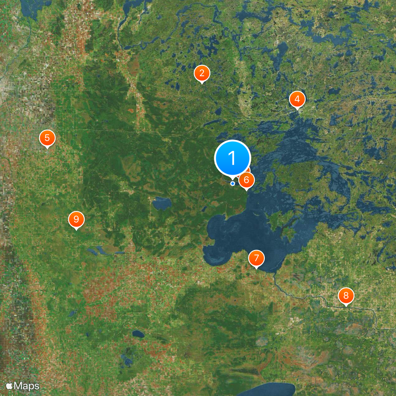
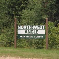
Angle Inlet, Unincorporated community in Angle Township, Minnesota, United States.
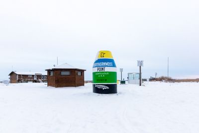
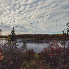
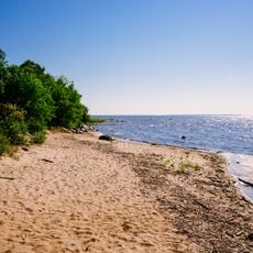
Angle Inlet is an unincorporated community situated at the far northern edge of Minnesota, positioned north of the 49th parallel in Lake of the Woods County. The settlement lies in this remote northern region, accessible only by crossing through Canadian territory.
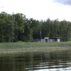
The area saw the earliest European settlement when French explorers established a fortified post in the early 18th century in this region. This initial French presence shaped the territory's history and its eventual boundary as the northernmost point of the contiguous nation.
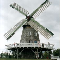
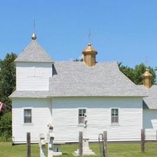
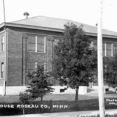
The schoolhouse in this settlement reflects how education was organized in one of the nation's most remote locations. It represents the determination to maintain community life at the country's northern edge.
Travelers heading to this location must plan to cross through Canadian territory and handle border procedures accordingly. The extreme northern position means winter weather is harsh and severe, so seasonal timing for any visit should be carefully considered.
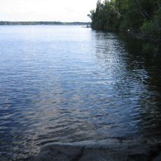
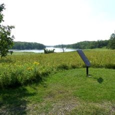
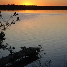
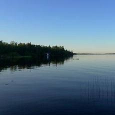
For decades, this settlement could be reached only by water travel, reflecting its extreme isolation from the rest of the continent. This remoteness shaped the lives of the handful of residents who chose to stay in such a far-flung location.
The community of curious travelers
AroundUs brings together thousands of curated places, local tips, and hidden gems, enriched daily by 60,000 contributors worldwide.