Chest opened
+${chestReward.xp} XP
Explorer
NOUVEAU ×${chestReward.collectible.quantity}
tapez pour fermer

See the monuments around you in AR Open chests in the app

Around Us is built for your phone — point your camera at the streets and discover the monuments and places around you in augmented reality. Around Us is built for your phone — chests unlock when you walk, explore and capture nearby places.

Enable Location

We need your location to show you interesting places around you

Discover nearby places

Find interesting locations and hidden gems around you

Precise directions

Get accurate directions and distances to places

Your location is never shared with other users. It's only used when you tap the location button.

Log in to your account

Start exploring — it's free

Trusted by 83,998 travelers worldwide

Continue with Google
Continue with Apple
or

We will send you a code to connect

By continuing, you accept our Terms and Conditions and our Privacy Policy

Check your inbox

We've sent a pincode in your inbox. Please enter the code below.

Durst Rockshelter State Natural Area
Discussion Reviews Photo
1.2k Popularity

Durst Rockshelter State Natural Area, Archaeological site in Sauk County, United States

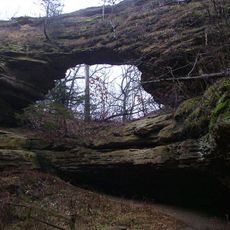
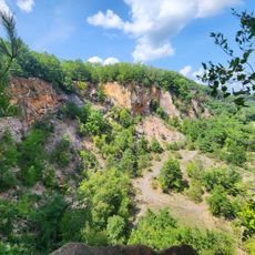
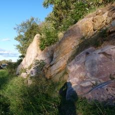
Durst Rockshelter State Natural Area is an archaeological site featuring a sandstone ridge and prominent rock overhang near Leland in Wisconsin. The protected area spans 40 acres with mixed forest vegetation and rock formations that once provided shelter and resources for its earlier inhabitants.

Excavations at the site uncovered projectile points and pottery dating to the Archaic period around 4000 BC. These discoveries indicate that the location was significant during an important transition period in regional human occupation and settlement patterns.

The rockshelter served as a refuge for multiple Native American groups across different periods, with tools and pottery left behind as evidence of their lives. These remains tell the story of how people adapted to life in this sheltered space over centuries.

Access to this protected natural area requires advance permission from the managing authorities before you visit. Prepare for hiking through natural terrain with appropriate footwear and weather-appropriate clothing.

The site is also known as Durst-Bloedau and is maintained today as a protected research area for natural study. It provides rare insights into both geological processes and early human occupation that are difficult to observe elsewhere.

The community of curious travelers

AroundUs brings together thousands of curated places, local tips, and hidden gems, enriched daily by 60,000 contributors worldwide.

Start exploring
Location
GPS coordinates
43.35694,-89.95639
Latest update
August 25, 2026 17:52
Around this place
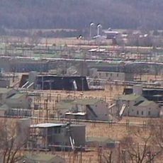
Badger Army Ammunition Plant
United States of America

Badger Army Ammunition Plant

16.4 km
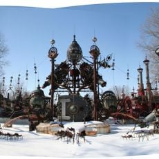
Forevertron
United States of America

Forevertron

15 km
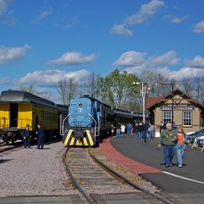
Mid-Continent Railway Museum
United States of America

Mid-Continent Railway Museum

13.4 km
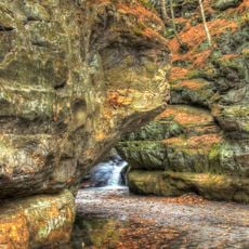
Pewits Nest State Natural Area
United States of America

Pewits Nest State Natural Area

17.1 km
Natural Bridge State Park
United States of America

Natural Bridge State Park

2.6 km
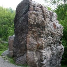
Van Hise Rock
United States of America

Van Hise Rock

15.1 km
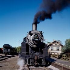
Chicago and North Western Railway 1385
United States of America

Chicago and North Western Railway 1385

13.1 km
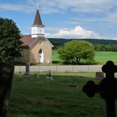
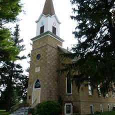
Our Lady of Loretto Roman Catholic Church and Cemetery
United States of America

Our Lady of Loretto Roman Catholic Church and Cemetery

4.2 km
Ableman's Gorge State Natural Area
United States of America

Ableman's Gorge State Natural Area

15 km
Point of Rocks
United States of America

Point of Rocks

17.3 km
Salem Evangelical Church
United States of America

Salem Evangelical Church

11.3 km
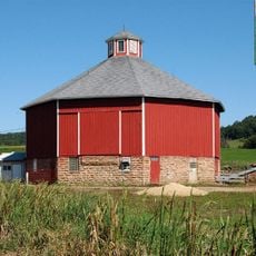
Tim Thering Octagon Barn
United States of America

Tim Thering Octagon Barn

10.4 km
Natural Bridge
United States of America

Natural Bridge

2.3 km
United States of America

Water Tower Display Area

13.2 km
United States of America

Mid-Continent Railway

11.6 km
United States of America

Mid-Continent Railway

13.3 km
United States of America

Shay #9

13.4 km
United States of America

Depot Display Area

13.4 km
United States of America

Copper Range #29

13.2 km
United States of America

Scenic viewpoint

14.8 km
United States of America

Mid-Continent Railway

13.2 km
United States of America

Forevertron

15 km
United States of America

Natural Bridge

2.3 km
United States of America

Van Hise Rock

15.1 km
United States of America

Mid-Continent Railway

11.1 km
United States of America

Museum of Badger Army Ammunition

15.4 km
United States of America

Mid-Continent Railway

10 km
United States of America

Mid-Continent Railway

9.3 km
Show the full map
Reviews
Share your experience

No review yet

Discussions
Start a discussion...

No discussion yet

« Durst Rockshelter State Natural Area - Archaeological site in Sauk County, United States » is provided by Around Us (aroundus.com). Images and texts are derived from Wikimedia project under a Creative Commons license. You are allowed to copy, distribute, and modify copies of this page, under the conditions set by the license, as long as this note is clearly visible.

Discover hidden gems everywhere you go!

From secret cafés to breathtaking viewpoints, skip the crowded tourist spots and find places that match your style. Our app makes it easy with voice search, smart filtering, route optimization, and insider tips from travelers worldwide. Download now for the complete mobile experience.

Around Us App Screenshot

A unique approach to discovering new places

Le Figaro

All the places worth exploring

France Info

A tailor-made excursion in just a few clicks

20 Minutes

Around Us
Travel Guide & Maps
Download

Send to your phone

QR Code
1

Open the camera app on your mobile.

2

Point at the QR code with your camera. A notification will appear.

3

Tap the notification to open the link.