
Northampton Reservoir Upper, Stausee in den Vereinigten Staaten
Location: Franklin County
GPS coordinates: 42.44694,-72.68750
Latest update: September 18, 2025 15:19
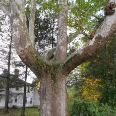
Buttonball Tree
9.3 km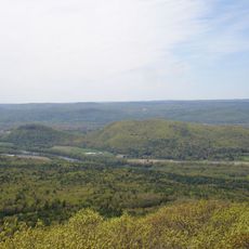
Sugarloaf Mountain
8.2 km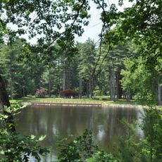
Look Park
11.4 km
Mount Sugarloaf State Reservation
8.3 km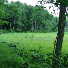
D.A.R. State Forest
9.2 km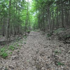
Petticoat Hill
8.7 km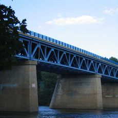
Sunderland Bridge
8.7 km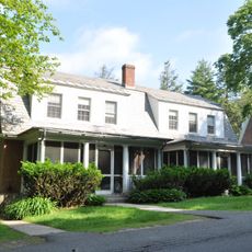
Northampton Veterans Affairs Medical Center
10.8 km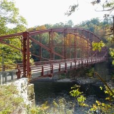
Bardwell's Ferry Bridge
12.1 km
Grove Hill Mansion
10.5 km
Pocumtuck Ridge Trail
11.6 km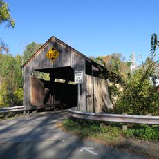
Burkeville Covered Bridge
7 km
Hatfield Center Historic District
11.9 km
West Hatfield Historic District
9.3 km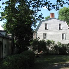
Porter-Phelps-Huntington House
11.6 km
Williamsburg Center Historic District
7 km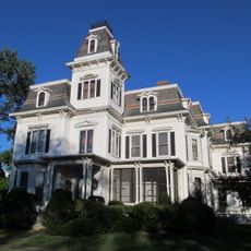
Upper Main Street Historic District
9.9 km
North Hadley Historic District
10.9 km
Elm Street Historic District
11.3 km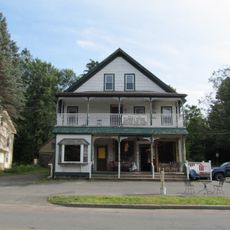
Ashfield Plain Historic District
12.1 km
Mill-Prospect Street Historic District
10.1 km
Conway Center Historic District
6.9 km
Whately Center Historic District
4.4 km
West Whately Historic District
1.1 km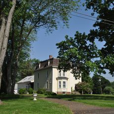
Bradstreet Historic District
9.2 km
Goshen Town Hall
9.3 km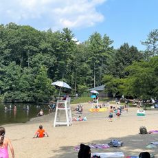
David Mustante Beach
10.6 km
Old Mill Site Historic District
11.3 kmReviews
Visited this place? Tap the stars to rate it and share your experience / photos with the community! Try now! You can cancel it anytime.
Discover hidden gems everywhere you go!
From secret cafés to breathtaking viewpoints, skip the crowded tourist spots and find places that match your style. Our app makes it easy with voice search, smart filtering, route optimization, and insider tips from travelers worldwide. Download now for the complete mobile experience.

A unique approach to discovering new places❞
— Le Figaro
All the places worth exploring❞
— France Info
A tailor-made excursion in just a few clicks❞
— 20 Minutes