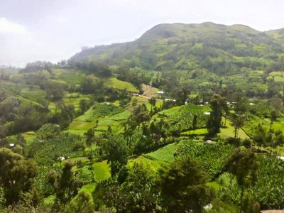
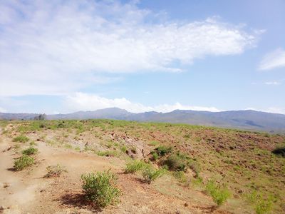
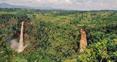
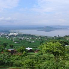
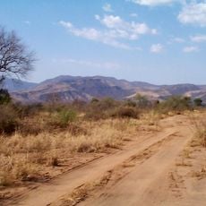
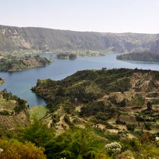
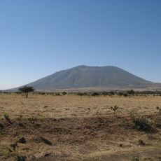
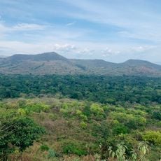
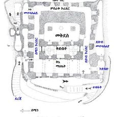
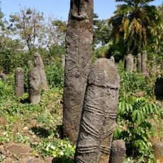
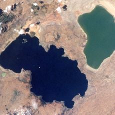
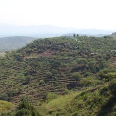
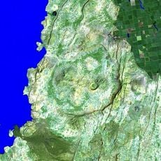
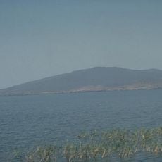
Wolayita Zone, administrative zone in Ethiopia
Location: South Ethiopia Regional State
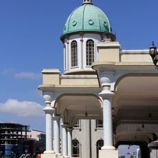
Capital city: Sodo
Website: http://www.snnprswolaitazone.gov.et/
Shares border with: Sidama Region, Hadiya Zone, Kembata Zone, Dawro Zone, Gamo Zone, Oromia Region, Tembaro Special Woreda
Website: http://snnprswolaitazone.gov.et
GPS coordinates: 6.83333,37.75000
Latest update: June 17, 2025 18:51
Sidama Region
85 km
Southwest Ethiopia Regional State
193.4 km
Omo River
161 km
Bale Mountains National Park
212.7 km
Commercial Bank of Ethiopia Headquarters
267.1 km
Tiya archaeological site
201.6 km
Monument to the Lion of Judah
266.4 km
Nechisar National Park
90.9 km
Abijatta-Shalla National Park
111.2 km
"Red Terror" Martyrs' Memorial Museum
266.8 km
Mago National Park
218.1 km
Tiglachin Monument
267.3 km
Wonchi
219.6 km
Mount Zuqualla
225.6 km
Medhane Alem Cathedral
266.6 km
Melka Kunture
228.6 km
Lower Valley of the Omo
198.3 km
Chebera Churchura National Park
120.5 km
Yabelo Wildlife Sanctuary
225.8 km
Senkelle Swayne's Hartebeest Sanctuary
75.3 km
Adadi Mariam
216.4 km
The Gedeo Cultural Landscape
216.4 km
O'a Caldera
115.9 km
Zoma Contemporary Art Center
262.2 km
Awassa Kenema Stadium
83.6 km
Konso Cultural Landscape
178.7 km
Gedamsa Caldera
231.1 km
Corbetti
84.6 kmReviews
Visited this place? Tap the stars to rate it and share your experience / photos with the community! Try now! You can cancel it anytime.
Discover hidden gems everywhere you go!
From secret cafés to breathtaking viewpoints, skip the crowded tourist spots and find places that match your style. Our app makes it easy with voice search, smart filtering, route optimization, and insider tips from travelers worldwide. Download now for the complete mobile experience.
A unique approach to discovering new places❞
— Le Figaro
All the places worth exploring❞
— France Info
A tailor-made excursion in just a few clicks❞
— 20 Minutes