
Vodopad Tat’yana, Wasserfall in Japan
Location: Hokkaido
Location: Kurilsky District
Elevation above the sea: 79 m
GPS coordinates: 45.28333,148.33750
Latest update: March 11, 2025 23:17

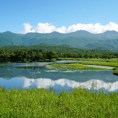
Shiretoko
259.4 km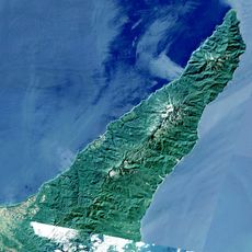
Shiretoko Peninsula
290.7 km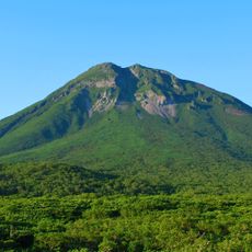
Mount Rausu
287.8 km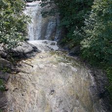
Kamuiwakka Falls
283.2 km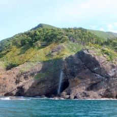
Kashuni Falls
271.7 km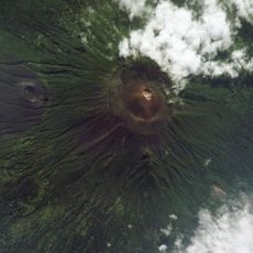
Tyatya
194.5 km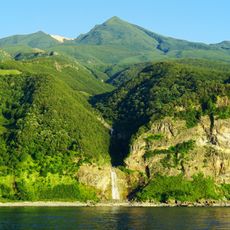
Mount Iō
282 km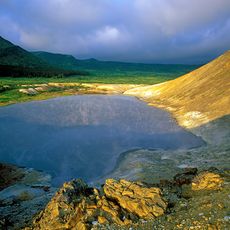
Kurils Nature Reserve
229.2 km
Aurora Tower
291.9 km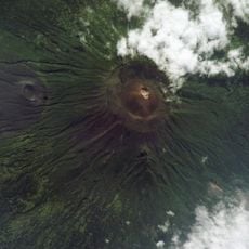
Mendeleyeva
252.3 km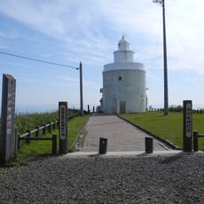
Nosappumisaki Lighthouse
291.4 km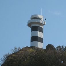
Shiretokomisaki lighthouse
259.2 km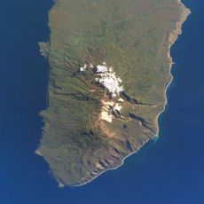
Berutarube
143.3 km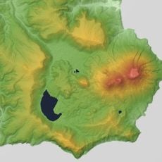
Medvezhya
41.2 km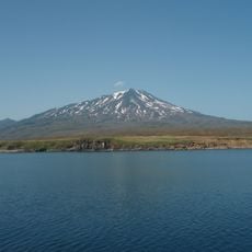
Bogdan Khmelnitsky
33.2 km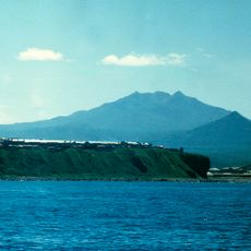
Baransky
32.2 km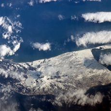
Golovnin
276.2 km
Ruruidake
196.4 km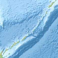
Колокол (вулкан)
159.9 km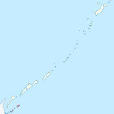
Lesser Kurils Zakaznik
241.9 km
Atsonupuri
108.9 km
Demon
47.5 km
Chirip
34.8 km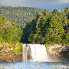
Ptichy Waterfall
188 km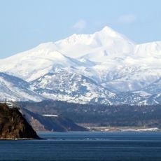
Smirnov
199.1 km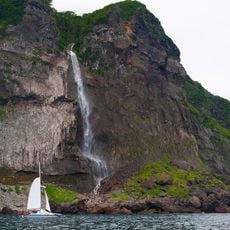
Ilya Muromets Waterfall
50.3 km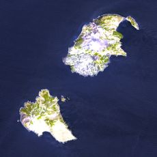
Vulkan Chernoga
239.5 km
Rausu Kunashiri Observation Tower
286.7 kmVisited this place? Tap the stars to rate it and share your experience / photos with the community! Try now! You can cancel it anytime.
Discover hidden gems everywhere you go!
From secret cafés to breathtaking viewpoints, skip the crowded tourist spots and find places that match your style. Our app makes it easy with voice search, smart filtering, route optimization, and insider tips from travelers worldwide. Download now for the complete mobile experience.

A unique approach to discovering new places❞
— Le Figaro
All the places worth exploring❞
— France Info
A tailor-made excursion in just a few clicks❞
— 20 Minutes