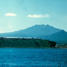
Gora Stokap, mountain in Japan
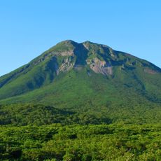
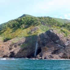
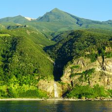
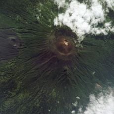
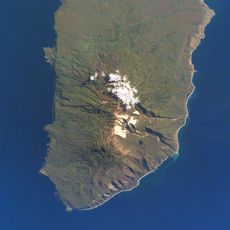
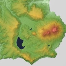
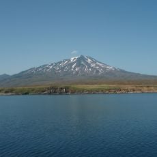
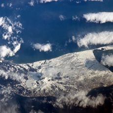
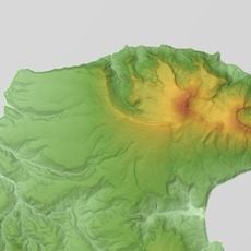
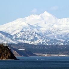
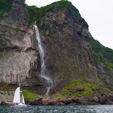
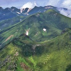
Gora Stokap is a volcanic mountain located in Kurilsky District within Nemuro Subprefecture on Iturup Island. It forms part of the Bogatyr Ridge and features steep rocky slopes with volcanic characteristics typical of this region.
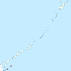
The mountain sits in a territory contested between Russia and Japan, with its status shifting through treaties over time. The Treaty of Shimoda in the mid-1800s placed it under Japanese control, while the Soviet Union claimed it after World War II, leading to ongoing disputes.
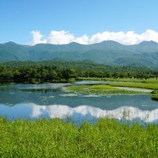
The mountain carries a name rooted in local history and serves as a symbol of the region's complex past for those who live here. Its volcanic landscape shapes how people relate to the land and how they understand the intersection of natural forces and human struggles in this border area.
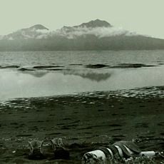
The mountain is remote and difficult to reach, so visitors should prepare for rough terrain and unpredictable weather. Proper gear and local guidance are strongly recommended to stay safe while exploring the volcanic landscape.
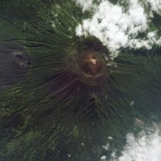
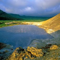
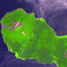
A rare mineral called Rheniite was discovered in this volcano in 2004, highlighting its geological significance. The mountain continues to release mineral-rich gases through fumaroles, showing ongoing volcanic activity.
The community of curious travelers
AroundUs brings together thousands of curated places, local tips, and hidden gems, enriched daily by 60,000 contributors worldwide.