
Seymour High School
Seymour High School, School
Location: Seymour
Inception: 1884
Website: https://www.edline.net/pages/Seymour_High_School
Website: https://edline.net/pages/Seymour_High_School
GPS coordinates: 41.38610,-73.09440
Latest update: March 20, 2025 09:58


Indian Well State Park
5.9 km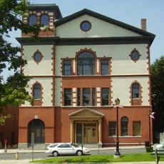
Sterling Opera House
7.2 km
Zoar Trail
5.5 km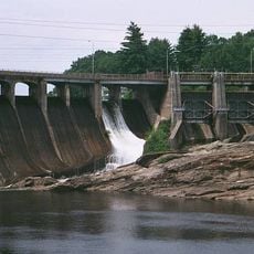
Stevenson Dam Bridge
6.4 km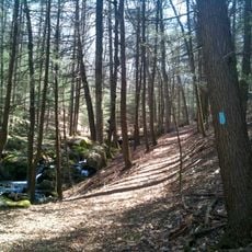
Paugussett Trail
5.5 km
Osbornedale State Park
5.2 km
David Humphreys House
6.3 km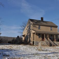
Quaker Farms Historic District
6.8 km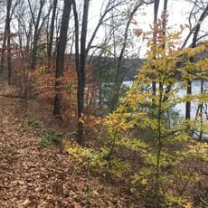
Pomperaug Trail
5.5 km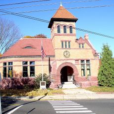
Plumb Memorial Library
7.5 km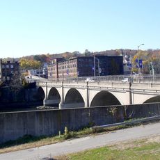
Derby-Shelton Bridge
7.5 km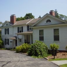
Osbornedale
5.9 km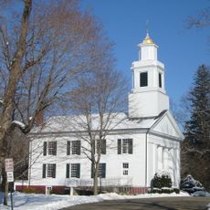
Woodbridge Green Historic District
7.7 km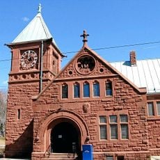
Ansonia Library
4.8 km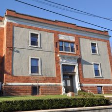
Commodore Hull School
7.6 km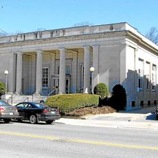
United States Post Office–Ansonia Main
5 km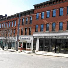
Upper Main Street Historic District
4.8 km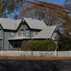
Chatfield Farmstead
4.3 km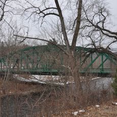
Depot Street Bridge
6.8 km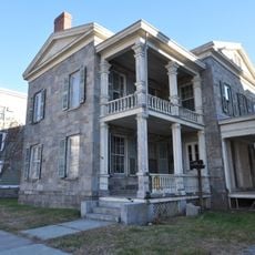
John I. Howe House
7 km
Harcourt Wood Memorial Library
6.6 km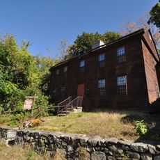
Richard Mansfield House
5.5 km
Dr. Andrew Castle House
7.9 km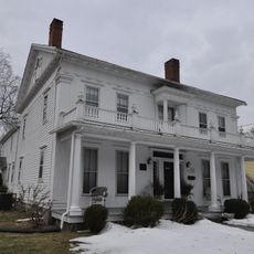
Sanford-Humphreys House
1.5 km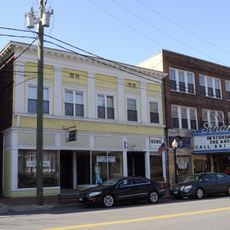
Strand Theatre
2.1 km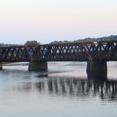
Housatonic River Bridge
7.7 km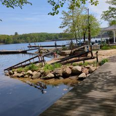
Zoar Beach
6.9 km
Naugatuck River Bridge
7.9 kmReviews
Visited this place? Tap the stars to rate it and share your experience / photos with the community! Try now! You can cancel it anytime.
Discover hidden gems everywhere you go!
From secret cafés to breathtaking viewpoints, skip the crowded tourist spots and find places that match your style. Our app makes it easy with voice search, smart filtering, route optimization, and insider tips from travelers worldwide. Download now for the complete mobile experience.

A unique approach to discovering new places❞
— Le Figaro
All the places worth exploring❞
— France Info
A tailor-made excursion in just a few clicks❞
— 20 Minutes