
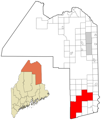
South Aroostook, Maine, unorganized territory in Maine, United States

Katahdin
41.1 km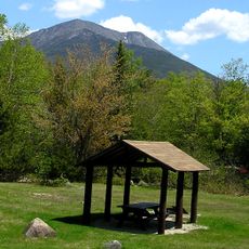
Baxter State Park
47.9 km
Houlton–Woodstock border crossing
61.2 km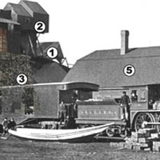
Katahdin Iron Works
71.6 km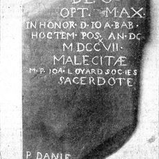
Meductic Indian Village / Fort Meductic
74.3 km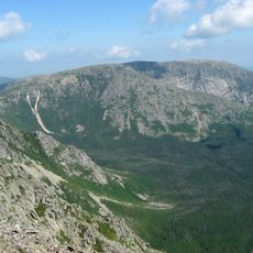
Hamlin Peak
42.2 km
North Brother
47.7 km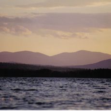
White Cap Mountain
70.5 km
Doubletop Mountain
52.5 km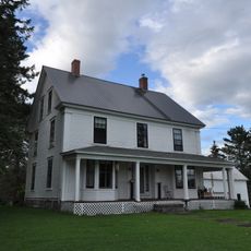
William Sewall House
25.4 km
Watson Settlement Bridge
65.4 km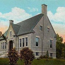
Cary Library
57.1 km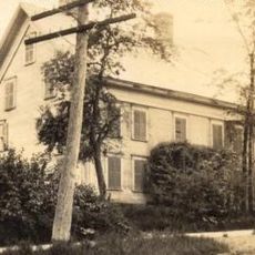
Blackhawk Putnam Tavern
57 km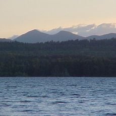
Saddleback Mountain
65.1 km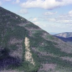
Mount Coe
48.6 km
Aroostook County Courthouse and Jail
56.9 km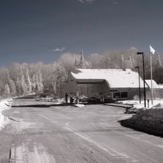
Orient – Fosterville Border Crossing
49 km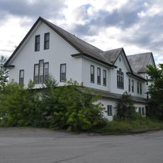
Island Falls Opera House
25.4 km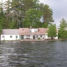
Ambajejus Boom House
38.4 km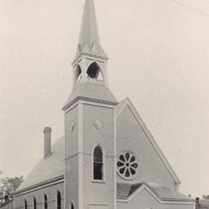
Unitarian Church of Houlton
57 km
Aroostook County Historical and Art Museum
57.1 km
Market Square Historic District
57 km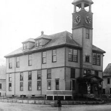
Union Hall
45.3 km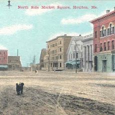
First National Bank of Houlton
56.5 km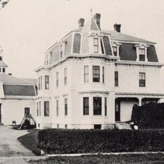
Walter P. Mansur House
57 km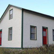
Gordon Fox Ranch
52.6 km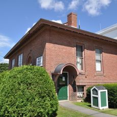
Milo Public Library
75 km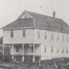
Oakfield Grange, No. 414
38.6 kmReviews
Visited this place? Tap the stars to rate it and share your experience / photos with the community! Try now! You can cancel it anytime.
Discover hidden gems everywhere you go!
From secret cafés to breathtaking viewpoints, skip the crowded tourist spots and find places that match your style. Our app makes it easy with voice search, smart filtering, route optimization, and insider tips from travelers worldwide. Download now for the complete mobile experience.

A unique approach to discovering new places❞
— Le Figaro
All the places worth exploring❞
— France Info
A tailor-made excursion in just a few clicks❞
— 20 Minutes