Chest opened
+${chestReward.xp} XP
Explorer
NOUVEAU ×${chestReward.collectible.quantity}
tapez pour fermer

See the monuments around you in AR Open chests in the app

Around Us is built for your phone — point your camera at the streets and discover the monuments and places around you in augmented reality. Around Us is built for your phone — chests unlock when you walk, explore and capture nearby places.

Enable Location

We need your location to show you interesting places around you

Discover nearby places

Find interesting locations and hidden gems around you

Precise directions

Get accurate directions and distances to places

Your location is never shared with other users. It's only used when you tap the location button.

USCS Robert J. Walker

Log in to your account

Start exploring — it's free

Trusted by 86,700 travelers worldwide

Continue with Google
Continue with Apple
or

We will send you a code to connect

By continuing, you accept our Terms and Conditions and our Privacy Policy

Check your inbox

We've sent a pincode in your inbox. Please enter the code below.

Discussion Reviews 1 Photos
2.3k Popularity

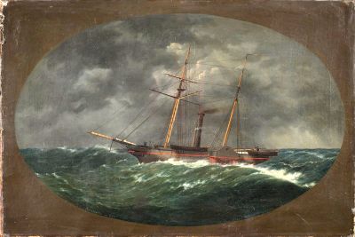
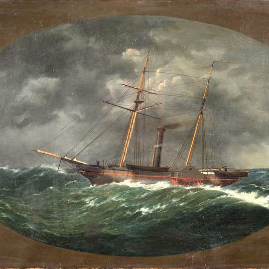
USCS Robert J. Walker, Sunken survey ship near Atlantic City, United States.

The USCS Robert J. Walker is an iron-hulled steamship built in 1844 that now rests on the ocean floor off Atlantic City. This survey vessel served the Coast Survey, conducting systematic mapping of American coastlines during its operational years.

Built in Pittsburgh in 1844, the vessel became one of the first iron-hulled ships in United States government service. It sank in 1860 after colliding with a schooner, claiming approximately 20 lives in the accident.

The vessel bears the name of Robert J. Walker, a prominent 19th-century Treasury Secretary, linking maritime exploration efforts to the nation's political history. Named after this influential figure, the ship symbolizes an era when government resources were dedicated to mapping American waters.

This wreck site is accessible only to experienced divers due to the water depth and challenging underwater conditions. NOAA provides precise coordinates and documentation to assist researchers and underwater archaeologists in locating and studying the remains.

Archaeologists discovered well-preserved wool blankets in the bow section, evidence of the crew's final desperate efforts to seal off compartments as the ship sank. These artifacts reveal the human actions taken during the vessel's last moments.

The community of curious travelers

AroundUs brings together thousands of curated places, local tips, and hidden gems, enriched daily by 60,000 contributors worldwide.
Start exploring
Location
Inception
1844
GPS coordinates
39.27900,-74.25660
Latest update
September 1, 2026 22:02
Around this place
Trump Taj Mahal
United States of America

Trump Taj Mahal

10.3 mi
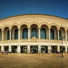
Boardwalk Hall
United States of America

Boardwalk Hall

11.1 mi
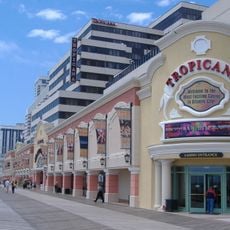
Tropicana Casino & Resort Atlantic City
United States of America

Tropicana Casino & Resort Atlantic City

11.3 mi
Boardwalk Hall Auditorium Organ
United States of America

Boardwalk Hall Auditorium Organ

11 mi
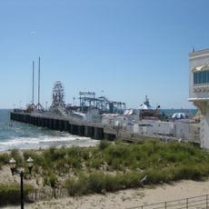
Steel Pier
United States of America

Steel Pier

10.2 mi
Chicken Bone Beach
United States of America

Chicken Bone Beach

10.9 mi
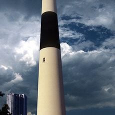
Absecon Light
United States of America

Absecon Light

10.4 mi
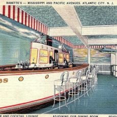
Babette's
United States of America

Babette's

11.1 mi
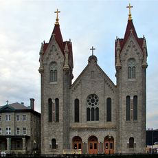
St. Nicholas of Tolentine Church
United States of America

St. Nicholas of Tolentine Church

10.8 mi
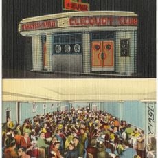
Clicquot Club
United States of America

Clicquot Club

11 mi
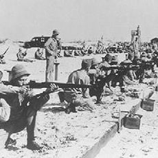
Atlantic City Training Center
United States of America

Atlantic City Training Center

11.1 mi
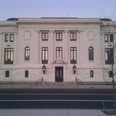
Carnegie Library Center
United States of America

Carnegie Library Center

10.9 mi
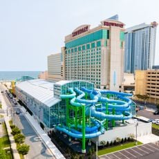
Construction of Island Waterpark at Showboat
United States of America

Construction of Island Waterpark at Showboat

10.4 mi
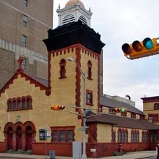
Church of the Ascension
United States of America

Church of the Ascension

10.8 mi
Brigantine Lighthouse
United States of America

Brigantine Lighthouse

10.7 mi
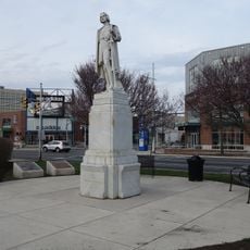
Statue of Christopher Columbus
United States of America

Statue of Christopher Columbus

11.1 mi
United States of America

New Jersey Korean War Memorial

10.8 mi
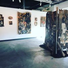
Noyes Arts Garage
United States of America

Noyes Arts Garage

11.4 mi
O'Donnell Memorial Park
United States of America

O'Donnell Memorial Park

11.7 mi
United States of America

Peter Beach

11 mi
United States of America

Brigantine Beach

10.4 mi
United States of America

Gardners Point

11 mi
United States of America

Haunted Tales

10.6 mi
Atlantic City Boardwalk
United States of America

Atlantic City Boardwalk

10.9 mi

Caesars Beach

10.9 mi
United States of America

North End Beach

10.8 mi
United States of America

Bally's Legend’s VIP Beach

10.7 mi
United States of America

Sea Wall Sculpture

10.7 mi
Show the full map
Reviews
Share your experience

No review yet

Discussions
Start a discussion...

No discussion yet

« USCS Robert J. Walker - Sunken survey ship near Atlantic City, United States » is provided by Around Us (aroundus.com). Images and texts are derived from Wikimedia project under a Creative Commons license. You are allowed to copy, distribute, and modify copies of this page, under the conditions set by the license, as long as this note is clearly visible.

Discover hidden gems everywhere you go!

From secret cafés to breathtaking viewpoints, skip the crowded tourist spots and find places that match your style. Our app makes it easy with voice search, smart filtering, route optimization, and insider tips from travelers worldwide. Download now for the complete mobile experience.

Around Us App Screenshot

A unique approach to discovering new places

Le Figaro

All the places worth exploring

France Info

A tailor-made excursion in just a few clicks

20 Minutes

Around Us
Travel Guide & Maps
Download

Send to your phone

QR Code
1

Open the camera app on your mobile.

2

Point at the QR code with your camera. A notification will appear.

3

Tap the notification to open the link.