
Xuân Thọ, Landgemeinde in Vietnam
Location: Triệu Sơn
Elevation above the sea: 9 m
GPS coordinates: 19.84611,105.53028
Latest update: March 9, 2025 10:35
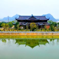
Bái Đính Temple
59.2 km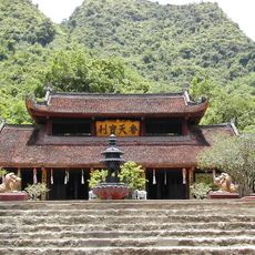
Perfume Pagoda
88.9 km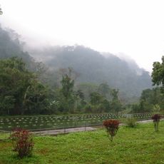
Cuc Phuong National Park
53 km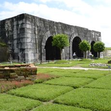
Citadel of the Hồ Dynasty
27 km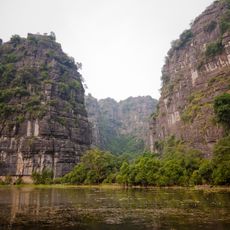
Tràng An
60.8 km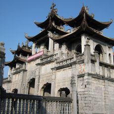
Phát Diệm Cathedral
63.7 km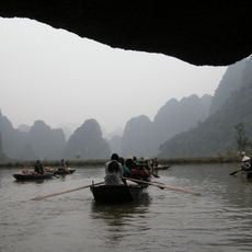
Tam Cốc-Bích Động
57.8 km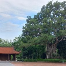
Lam Kinh
15.9 km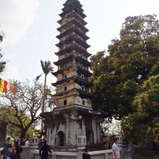
Pho Minh Temple
94.7 km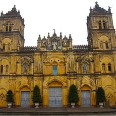
Cathedral of the Queen of the Rosary, Xuân Trường
98.1 km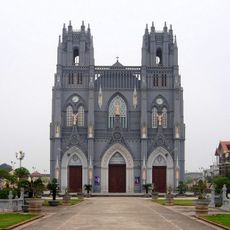
Basilica of Immaculate Conception, Phu Nhai
98.1 km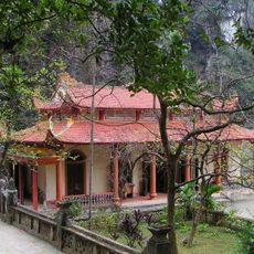
Bich Dong Pagoda
57.7 km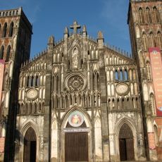
Basilique de l'Immaculée-Conception de Kiện Khê
81.8 km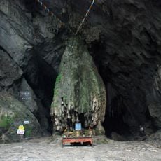
Động Hương Tích
88 km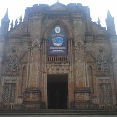
Chau Son Holy Mother Monastery
59.1 km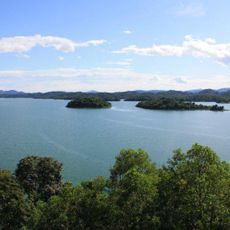
Ben En National Park
25.5 km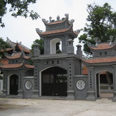
Nhat Tru pagoda
63.2 km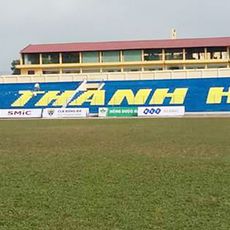
Thanh Hoa Stadium
25.9 km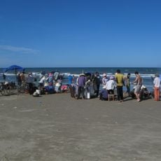
Hải Hòa Beach
52.3 km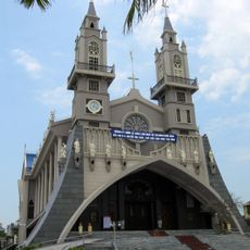
Sacred Heart Cathedral of Thái Bình
108.6 km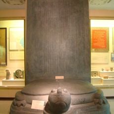
Vinh Lang stele
15.9 km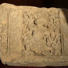
Doi Son pagoda
94.5 km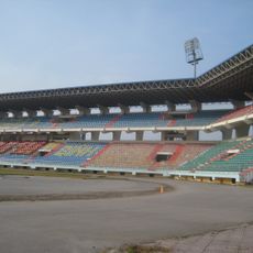
Ninh Binh Stadium
64.9 km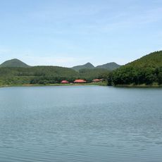
Dong Chuong Lake
51 km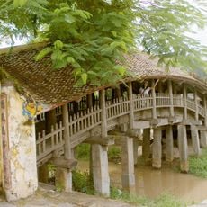
Quan Phuong covered bridge
88.2 km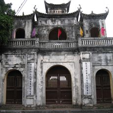
Temple of Literature of Hung Yen
105.7 km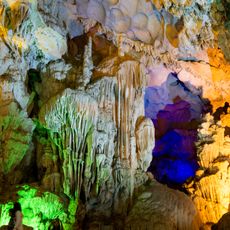
Thien Cung Cave
57.5 km
Sa Châu Church
102.4 kmReviews
Visited this place? Tap the stars to rate it and share your experience / photos with the community! Try now! You can cancel it anytime.
Discover hidden gems everywhere you go!
From secret cafés to breathtaking viewpoints, skip the crowded tourist spots and find places that match your style. Our app makes it easy with voice search, smart filtering, route optimization, and insider tips from travelers worldwide. Download now for the complete mobile experience.

A unique approach to discovering new places❞
— Le Figaro
All the places worth exploring❞
— France Info
A tailor-made excursion in just a few clicks❞
— 20 Minutes