
Rescue Bay Conservancy, protected area in British Columbia, Canada
Location: Regional District of Kitimat-Stikine
GPS coordinates: 52.51861,-128.30250
Latest update: August 5, 2025 17:06

Monarch Mountain
179.1 km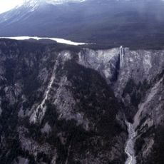
Hunlen Falls
174.1 km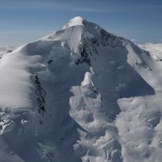
Mount Silverthrone
186.8 km
Tweedsmuir South Provincial Park
148.3 km
Canadian Cascade Arc
186.1 km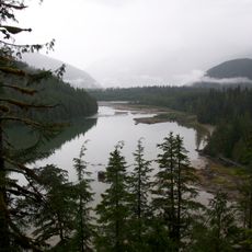
Kitlope Heritage Conservancy
74.9 km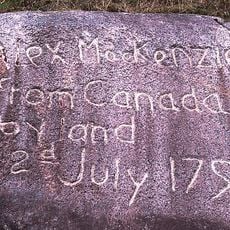
Sir Alexander Mackenzie Provincial Park
58.7 km
Monarch Icefield
167.1 km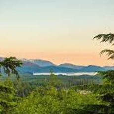
Atna River Provincial Park
164.2 km
Gardner Canal
122.5 km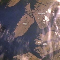
Milbanke Sound Group
18.5 km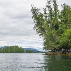
Penrose Island Marine Provincial Park
124 km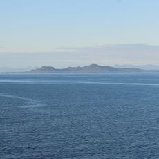
Lax Kul Nii Luutiksm/Bonilla Conservancy
188.3 km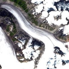
Pashleth Glacier
180.3 km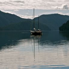
Foch-Gilttoyees Provincial Park
161.2 km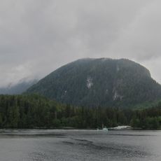
Kitasoo Spirit Bear Conservancy
47.1 km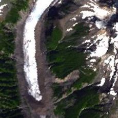
Kingcome Glacier
185 km
Boat Bluff lighthouse
20.4 km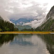
Mussel Inlet
44.3 km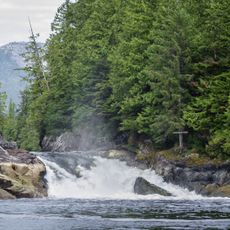
Lowe Inlet Marine Provincial Park
144 km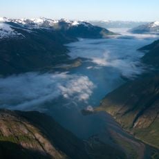
Owyacumish River Provincial Park
113.1 km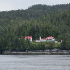
Addenbroke Island light station
106.2 km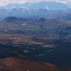
Tweedsmuir Provincial Park
168.8 km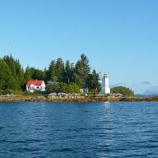
Dryad Point Lighthouse
39.3 km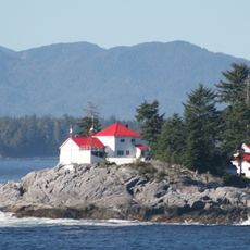
Ivory Island Lightstation
28.6 km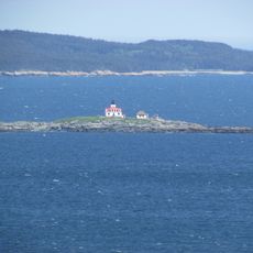
Egg Island Lighthouse
145 km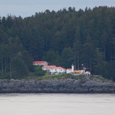
Pine Island Lighthouse
176.3 km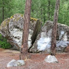
Big Rock
155.3 kmReviews
Visited this place? Tap the stars to rate it and share your experience / photos with the community! Try now! You can cancel it anytime.
Discover hidden gems everywhere you go!
From secret cafés to breathtaking viewpoints, skip the crowded tourist spots and find places that match your style. Our app makes it easy with voice search, smart filtering, route optimization, and insider tips from travelers worldwide. Download now for the complete mobile experience.

A unique approach to discovering new places❞
— Le Figaro
All the places worth exploring❞
— France Info
A tailor-made excursion in just a few clicks❞
— 20 Minutes