
Redfeather Ranger Station
Location: Larimer County
Inception: 1930s
Architectural style: rustic architecture
Website: https://www.fs.usda.gov/recarea/arp/recarea/?recid=77700
Made from material: log
Website: https://fs.usda.gov/recarea/arp/recarea/?recid=77700
GPS coordinates: 40.79369,-105.57087
Latest update: March 25, 2025 03:27
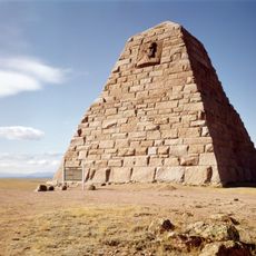
Ames Monument
40.3 km
Poudre Canyon
11.5 km
Dale Creek Crossing
35.9 km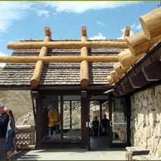
Alpine Visitor Center
42.1 km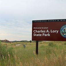
Lory State Park
39.7 km
Fall River Road
42.2 km
Rawah Wilderness
35.3 km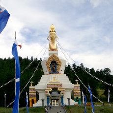
The Great Stupa of Dharmakaya
7.8 km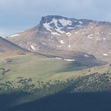
Hagues Peak
35 km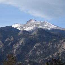
Mummy Mountain
35.8 km
Cache La Poudre Wilderness
17.4 km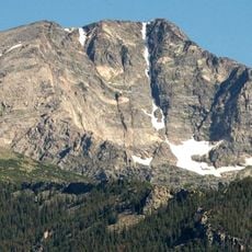
Ypsilon Mountain
38.6 km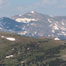
Clark Peak
36.8 km
Mount Chiquita
40.2 km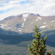
Fairchild Mountain
37.1 km
Greyrock Mountain
25 km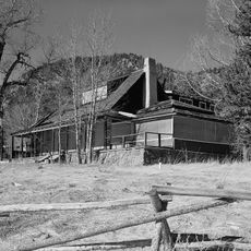
McGraw Ranch
40.8 km
Iron Mountain
39.8 km
Greyrock Mountain Trail
26.5 km
Fall River Pump House and Catchment Basin
42.3 km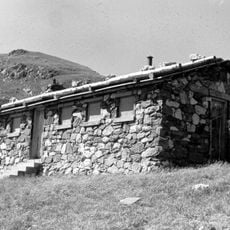
Timberline Cabin
41.8 km
Fall River Pass Ranger Station
42.3 km
Arrowhead Lodge
11.4 km
Comanche Reservoir
24.4 km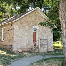
Pleasant Valley School
36.4 km
Lawn Lake
36.8 km
Fall River Pass Historic District
42.3 km
Alpine Ridge Trail
41.9 kmReviews
Visited this place? Tap the stars to rate it and share your experience / photos with the community! Try now! You can cancel it anytime.
Discover hidden gems everywhere you go!
From secret cafés to breathtaking viewpoints, skip the crowded tourist spots and find places that match your style. Our app makes it easy with voice search, smart filtering, route optimization, and insider tips from travelers worldwide. Download now for the complete mobile experience.

A unique approach to discovering new places❞
— Le Figaro
All the places worth exploring❞
— France Info
A tailor-made excursion in just a few clicks❞
— 20 Minutes