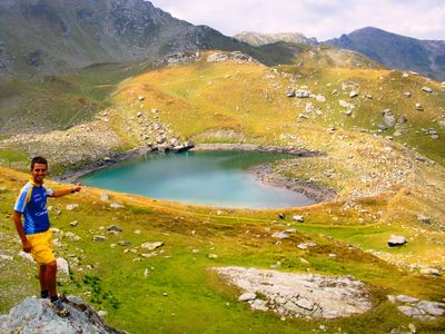
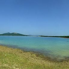
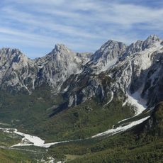
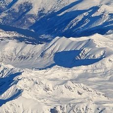
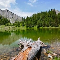
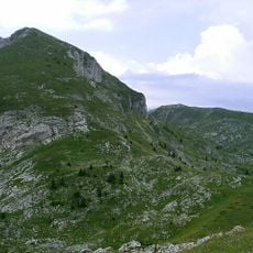
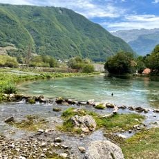
Zemra Lake, Mountain lake in Prokletije range, Kosovo.
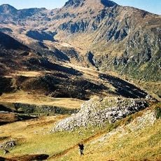
Zemra Lake sits in the Prokletije mountain range at an elevation of about 2,289 feet (2,289 meters) near Gusan's peak. The water body spans roughly 150 meters in length and 120 meters in width, filling a high-altitude basin.
The lake formed through natural processes in the Prokletije range over ancient times and has remained a constant feature. It has long served as a recognized marker for those traveling through these remote mountains.
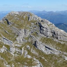
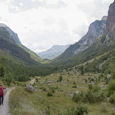
The name Liqeni i Zemrës comes from Albanian and means "Heart Lake". For hikers, this water body serves as a natural landmark while crossing the high mountain terrain.
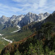
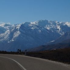
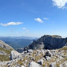
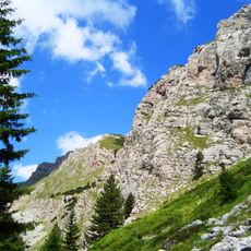
Visitors must use well-equipped hiking trails to reach this high-altitude basin, as the approach is steep and demanding. Those arriving should be prepared for changeable weather and rapid temperature shifts in the mountains.
The lake sits just a few hundred meters from the Kosovo-Albania border and serves as a key navigation point for those crossing the region. Visitors passing through often do not realize it functions as an internationally recognized border marker.
Elevation above the sea: 2,289 m
GPS coordinates: 42.53028,20.12056
Latest update: December 6, 2025 19:02
Heart-shaped geographic formations result from natural processes including erosion, coral growth, and tectonic activity. These features appear in various landscape types, from islands and atolls to lakes and coastlines. The distinctive shape typically becomes apparent only from aerial perspectives, making these locations popular destinations for scenic flights and aerial photography. Examples occur worldwide: the Heart Reef within Australia's Great Barrier Reef, Galešnjak Island in Croatia's Adriatic Sea, and Lake Toyoni on Japan's Hokkaido Island. Additional formations exist in the waters of French Polynesia and along North American coastlines. These sites combine geological interest with their symbolic shape, attracting visitors who seek both natural environments and the opportunity to witness these formations from above.
Visoki Dečani
12.1 km
Valbonë Valley National Park
20.9 km
Patriarchate of Peja
18.8 km
Medieval Monuments in Kosovo
18.8 km
Zla Kolata
19.1 km
Rugova Canyon
18.5 km
Radoniq Lake
24.7 km
Prokletije National Park
17 km
Maja e Thatë
21.8 km
Shkelzeni Peak
8.1 km
Naturdenkmal Scham-Maulbeerbaum
18.7 km
Dog Peak
8.3 km
Rosi Peak
22.9 km
Maja Grykat e Hapëta
22.3 km
Maja e Hekurave
20.5 km
Prokletije National Park
1.6 km
Maja e Kollatës
18.1 km
Kopranik
16.5 km
Maja Bogiçaj
3.6 km
Kolata e Mirë
18.7 km
Bajram Curri History Museum
19.7 km
National park Bjeshkët e Nemuna
15.6 km
Bandera (Krivi smet)
21.2 km
Ropojona Valley
25.2 km
Bajrakli Mosque, Peć
19.7 km
Haxhi Zeka Mill Museum
20.8 km
Ali Pasha Springs
24.4 km
Kullat e Mazrekajve
14.5 kmVisited this place? Tap the stars to rate it and share your experience / photos with the community! Try now! You can cancel it anytime.
Discover hidden gems everywhere you go!
From secret cafés to breathtaking viewpoints, skip the crowded tourist spots and find places that match your style. Our app makes it easy with voice search, smart filtering, route optimization, and insider tips from travelers worldwide. Download now for the complete mobile experience.
A unique approach to discovering new places❞
— Le Figaro
All the places worth exploring❞
— France Info
A tailor-made excursion in just a few clicks❞
— 20 Minutes