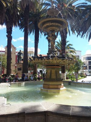
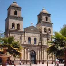
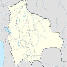
Tarija, Colonial city in southern Bolivia
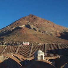
Tarija is a city in southern Bolivia situated along the Guadalquivir River at roughly 1,860 meters elevation. The climate here remains mild and pleasant, setting it apart from the cold highlands and humid lowland regions.
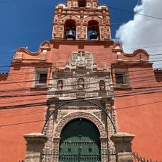
The city was founded in 1574 as San Bernardo de la Frontera and developed as an important trading point in the southern region. In 1826, its residents chose to join Bolivia.
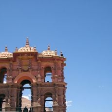
The city celebrates its colonial heritage through local festivals and traditions that shape daily life. Residents maintain traditional crafts and customs passed down through generations.
The city is served by an airport connecting to major Bolivian centers, with bus services linking to other destinations. Wear sturdy footwear since the streets are hilly and paths vary in condition.
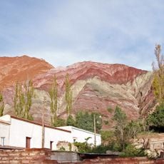
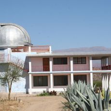
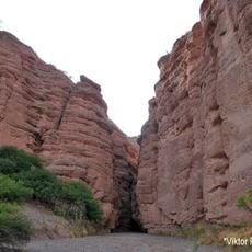
The region around the city produces wine from locally grown grapes, making it the main wine-producing area in Bolivia. Visitors can see vineyards scattered across the valleys surrounding the city.
Location: Tarija
Address: Tarija, Bolivia
Website: http://tarija.bo
GPS coordinates: -21.51779,-64.72957
Latest update: December 6, 2025 19:10
Bolivia sits in the central Andes, linking mountain ranges, high plateau lands, and lowland rainforests in a landlocked country. The changes in altitude create different climate zones and landscapes, from snow-covered peaks to tropical vegetation. Many visitors start in La Paz, a city that clings to...
Cerro Rico
236.6 km
Quebrada de Humahuaca
197.8 km
National Mint of Bolivia
239.8 km
Calilegua National Park
236.4 kmBaritú National Park
119.2 km
Tariquía Flora and Fauna National Reserve
65.9 km
Monument to the Heroes of Independence
198.3 km
Reserva de biosfera de Yungas
167.3 km
Cathedral Basilica of Our Lady of Peace, Potosí
239.8 km
Cordillera de Sama Biological Reserve
21.3 km
Casa Dorada, Tarija
1.7 km
Aguaragüe Integrated Management Natural Area
117 km
Tarija Cathedral
1.8 km
Torre de la Compañía
239.9 km
Potosí mountain range
224.9 km
Cabildo de Humahuaca
198.2 km
Cerro Panizos
235.4 kmCañón del Pilaya
48.3 km
Capilla de la Inmaculada Concepción
222.5 km
Cerro Lípes
227.2 km
Bolivian National Observatory at Tarija
14 km
Camataqui Municipality
81.4 km
Magical
106.2 km
Saint Theresa Museum
239.9 km
Cerro Galán
217.8 km
Humahuaca Cathedral
198.3 km
Capilla de Tilcara
239.1 km
Museo De Bellas Artesfundación Hugo Irureta
239.2 kmVisited this place? Tap the stars to rate it and share your experience / photos with the community! Try now! You can cancel it anytime.
Discover hidden gems everywhere you go!
From secret cafés to breathtaking viewpoints, skip the crowded tourist spots and find places that match your style. Our app makes it easy with voice search, smart filtering, route optimization, and insider tips from travelers worldwide. Download now for the complete mobile experience.
A unique approach to discovering new places❞
— Le Figaro
All the places worth exploring❞
— France Info
A tailor-made excursion in just a few clicks❞
— 20 Minutes