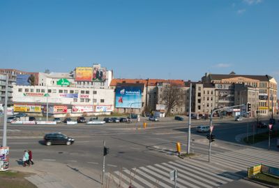
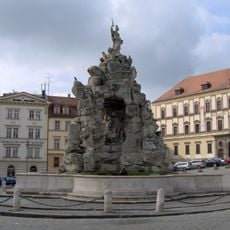
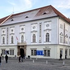
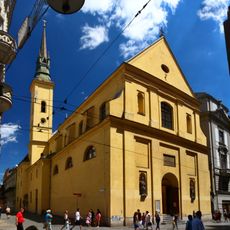
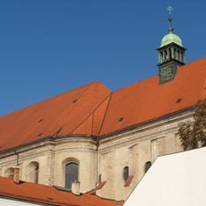
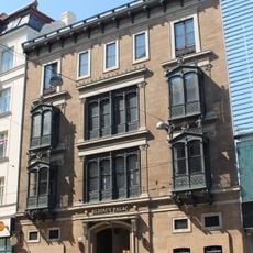
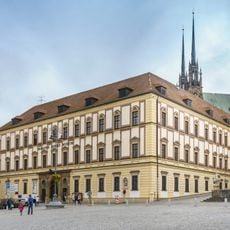
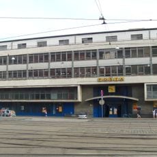
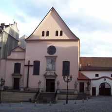
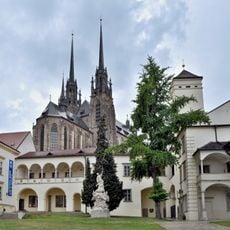
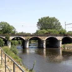
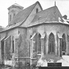
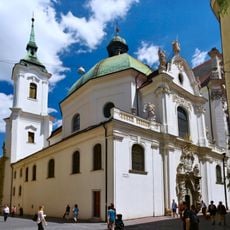
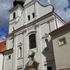
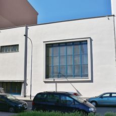
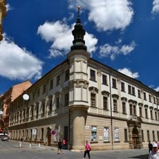
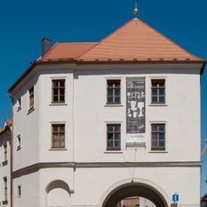
Trnitá, cadastral area in Brno
Location: Brno
Elevation above the sea: 200 m
GPS coordinates: 49.18833,16.61639
Latest update: March 10, 2025 16:15
Brno astronomical clock
917 m
Divadlo Husa na provázku
738 m
Old Town Hall
772 m
Parnas fountain
702 m
Capuchin Crypt in Brno
578 m
Moravian Museum
684 m
Pillar of the Plague
995 m
HaDivadlo
834 m
Dům pánů z Lipé
888 m
Reduta Theatre
650 m
Church of Saint Mary Magdalene
597 m
Church of Saint John the Baptist and Saint John the Evangelist
764 m
Klein Palace
854 m
Palais Dietrichstein, Brno
715 m
Train post office in Brno
441 m
Church of the Finding of the True Cross
595 m
Biskupský dvůr
679 m
Monastery of Minorits (Brno)
711 m
Vídeňský viadukt
590 m
Capuchin monastery
594 m
Church of Saint Nicholas
943 m
Loreto chapel in Brno
788 m
Church of Saint Joseph
615 m
Agudas Achim Synagogue
508 m
Palác šlechtičen
957 m
Měnínská brána
716 m
Brno Underground
721 m
Palace Moravia
785 mReviews
Visited this place? Tap the stars to rate it and share your experience / photos with the community! Try now! You can cancel it anytime.
Discover hidden gems everywhere you go!
From secret cafés to breathtaking viewpoints, skip the crowded tourist spots and find places that match your style. Our app makes it easy with voice search, smart filtering, route optimization, and insider tips from travelers worldwide. Download now for the complete mobile experience.
A unique approach to discovering new places❞
— Le Figaro
All the places worth exploring❞
— France Info
A tailor-made excursion in just a few clicks❞
— 20 Minutes