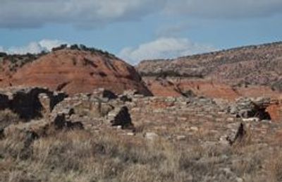
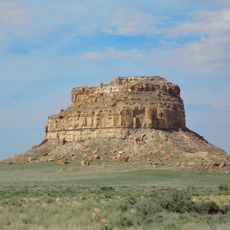
Casamero Pueblo, New Mexico, Archaeological site near Tecolote Mesa, United States.
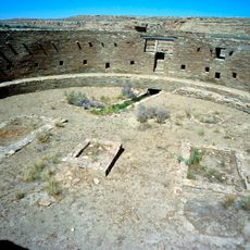
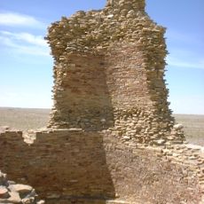
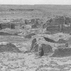
Casamero Pueblo is an archaeological site containing the remains of an ancient settlement built against red sandstone cliffs. The structure includes roughly 22 ground-level rooms and traces of additional chambers on an upper level, constructed using the distinctive masonry techniques typical of the Chaco region.
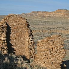
The settlement was established between 1000 and 1125 and maintained strong connections with Chaco Canyon to the south. An extensive network of prehistoric roads linked this location to other centers, allowing the exchange of goods and ideas across the region.
The site reveals how Ancestral Puebloan communities organized their daily lives and gathered for ceremonies. The arrangement of rooms and the large ceremonial kiva show the social connections that held people together in this settlement.
You can reach the site by taking the Prewitt exit from Interstate 40 and then heading north on County Road 19 to a marked parking area. The route is clearly signed, and visitors should be prepared for unpaved roads in a rural setting.
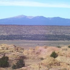
The natural rock formations in the Tecolote Mesa cliffs resemble two watching eyes, which inspired the location's name. This distinctive landmark helped early residents identify and navigate to the settlement across the open landscape.
The community of curious travelers
AroundUs brings together thousands of curated places, local tips, and hidden gems, enriched daily by 60,000 contributors worldwide.