Chest opened
+${chestReward.xp} XP
Explorer
NOUVEAU ×${chestReward.collectible.quantity}
tapez pour fermer

See the monuments around you in AR Open chests in the app

Around Us is built for your phone — point your camera at the streets and discover the monuments and places around you in augmented reality. Around Us is built for your phone — chests unlock when you walk, explore and capture nearby places.

Enable Location

We need your location to show you interesting places around you

Discover nearby places

Find interesting locations and hidden gems around you

Precise directions

Get accurate directions and distances to places

Your location is never shared with other users. It's only used when you tap the location button.

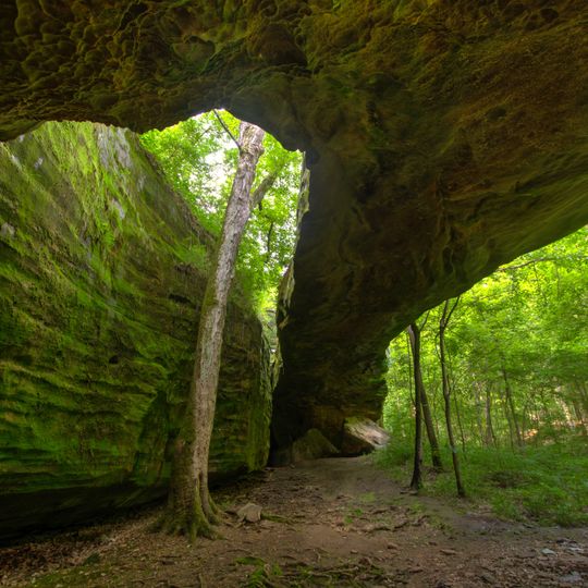
Mantle Rock Archeological District

Log in to your account

Start exploring — it's free

Trusted by 85,568 travelers worldwide

Continue with Google
Continue with Apple
or

We will send you a code to connect

By continuing, you accept our Terms and Conditions and our Privacy Policy

Check your inbox

We've sent a pincode in your inbox. Please enter the code below.

Discussion Reviews 1 Photos
1.8k Popularity

Mantle Rock Archeological District, Archaeological site in Livingston County, United States.

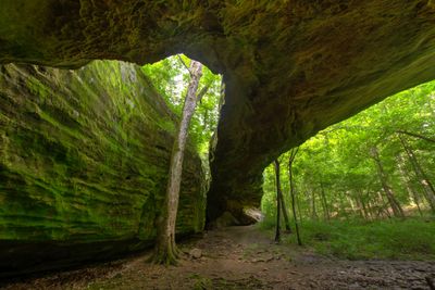
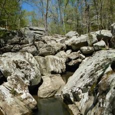
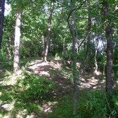
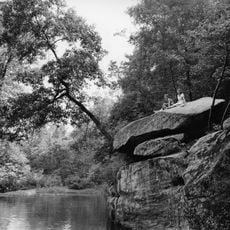
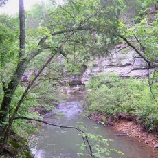
Mantle Rock Archeological District is an archaeological site with natural sandstone rock formations and springs in the McGilligan Creek watershed. The landscape includes forest trails and historic routes that pass through the valley.

The site was a major stopping point in 1838 when over 1,000 Cherokee waited there during winter. This event marks a critical moment in the forced migration of this nation.

This place holds traces of Cherokee passage and preserves sites where travelers stopped during their journey through the valley. Archaeological remains here show how people moved through and used the landscape.

The site is reached via a loop trail that follows some historic routes and passes through wooded areas and springs. Visitors should wear sturdy shoes and be prepared for uneven ground throughout the walk.

A natural sandstone rock formation gives the place its distinctive name and character. This arch-shaped stone feature is something visitors will notice right away while exploring the trails.

The community of curious travelers

AroundUs brings together thousands of curated places, local tips, and hidden gems, enriched daily by 60,000 contributors worldwide.
Start exploring
GPS coordinates
37.35278,-88.42806
Latest update
August 30, 2026 18:09
Around this place
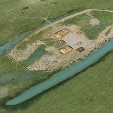
Kincaid Mounds State Historic Site
United States of America

Kincaid Mounds State Historic Site

19.2 mi
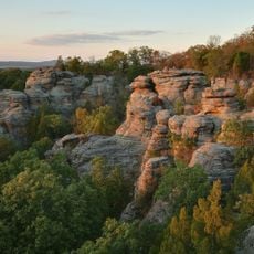
Garden of the Gods Wilderness
United States of America

Garden of the Gods Wilderness

17.7 mi
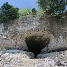
Cave-in-Rock State Park
United States of America

Cave-in-Rock State Park

17 mi
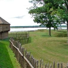
Fort Massac
United States of America

Fort Massac

20.3 mi
Irvin S. Cobb Bridge
United States of America

Irvin S. Cobb Bridge

19.8 mi
Dixon Springs State Park
United States of America

Dixon Springs State Park

13.2 mi
Lock and Dam Number 52
United States of America

Lock and Dam Number 52

20.3 mi
United States of America

Tolu Site

11.3 mi
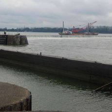
Smithland Lock and Dam
United States of America

Smithland Lock and Dam

12.9 mi
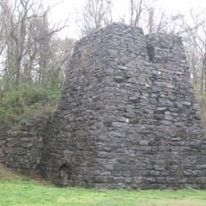
Illinois Iron Furnace
United States of America

Illinois Iron Furnace

11.5 mi
Rowlandton Mound Site
United States of America

Rowlandton Mound Site

21.2 mi
Fort Anderson
United States of America

Fort Anderson

20.4 mi
Lloyd Tilghman House
United States of America

Lloyd Tilghman House

20.9 mi
Orr-Herl Mound and Village Site
United States of America

Orr-Herl Mound and Village Site

7.9 mi
David Yeiser House
United States of America

David Yeiser House

20.6 mi
Confederate Monument in Paducah
United States of America

Confederate Monument in Paducah

21.4 mi
Golconda Historic District
United States of America

Golconda Historic District

3.4 mi
United States of America

Lusk's Ferry, Illinois

3.2 mi
Bell Smith Springs
United States of America

Bell Smith Springs

17.1 mi
Lusk Creek Canyon
United States of America

Lusk Creek Canyon

13 mi
Hardin County Courthouse
United States of America

Hardin County Courthouse

9.4 mi
Masonic Temple
United States of America

Masonic Temple

21.1 mi
Richard Olive House
United States of America

Richard Olive House

14.8 mi
Cave In Rock State Park
United States of America

Cave In Rock State Park

17.2 mi
Masonic Hall-Federal Commissary Building
United States of America

Masonic Hall-Federal Commissary Building

14.7 mi
Fort Massac State Park
United States of America

Fort Massac State Park

20.3 mi
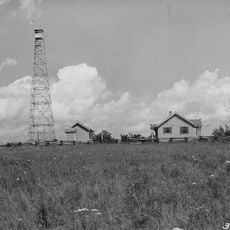
Raum Lookout Tower
United States of America

Raum Lookout Tower

7.7 mi
Peters Creek Lookout Tower
United States of America

Peters Creek Lookout Tower

15.3 mi
Show the full map
Reviews
Share your experience

No review yet

Discussions
Start a discussion...

No discussion yet

« Mantle Rock Archeological District - Archaeological site in Livingston County, United States » is provided by Around Us (aroundus.com). Images and texts are derived from Wikimedia project under a Creative Commons license. You are allowed to copy, distribute, and modify copies of this page, under the conditions set by the license, as long as this note is clearly visible.

Discover hidden gems everywhere you go!

From secret cafés to breathtaking viewpoints, skip the crowded tourist spots and find places that match your style. Our app makes it easy with voice search, smart filtering, route optimization, and insider tips from travelers worldwide. Download now for the complete mobile experience.
Around Us App Screenshot

A unique approach to discovering new places

Le Figaro

All the places worth exploring

France Info

A tailor-made excursion in just a few clicks

20 Minutes

Around Us
Travel Guide & Maps
Download

Send to your phone

QR Code
1

Open the camera app on your mobile.

2

Point at the QR code with your camera. A notification will appear.

3

Tap the notification to open the link.