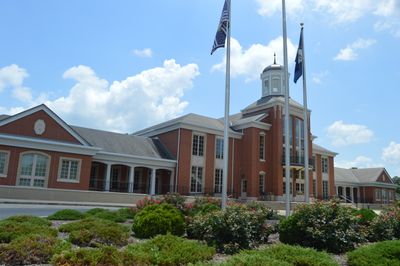
Livingston County, County seat and administrative center in western Kentucky, United States
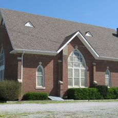
Livingston County is an administrative division in western Kentucky encompassing several small communities scattered across gently rolling terrain. The region is shaped by two major rivers that have influenced its boundaries and economic development for centuries.
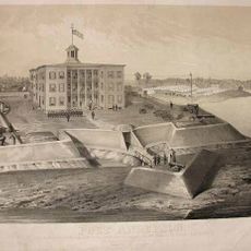
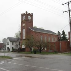
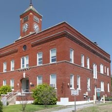
Livingston County was established in 1798 and ranks among Kentucky's oldest administrative units. Smithland became the county seat in 1841 and developed at the strategic junction of two rivers.
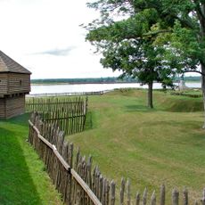
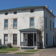
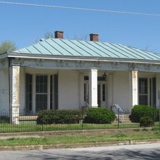
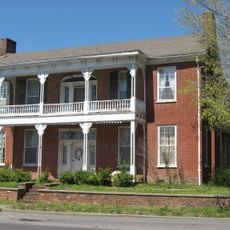
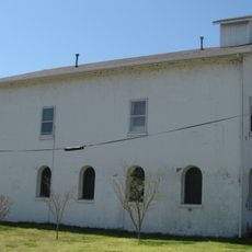
The Gower House, located along the Ohio River, represents the architectural methods and building techniques from the late 18th century Kentucky frontier period.
The area is predominantly rural and requires a personal vehicle to explore, as public transportation is limited. The best time to visit is spring and fall, when weather is pleasant and river landscapes look particularly appealing.
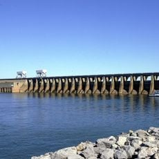
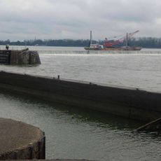
A lock and dam built in 1979 control water flow at this river junction and significantly shape the landscape. This infrastructure enabled improved navigation of the Ohio River for freight transport.
The community of curious travelers
AroundUs brings together thousands of curated places, local tips, and hidden gems, enriched daily by 60,000 contributors worldwide.