
Papahānaumokuākea Marine National Monument
1023 km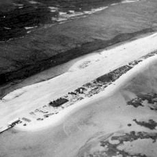
French Frigate Shoals
849.5 km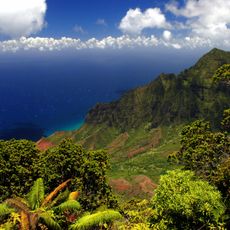
Nā Pali Coast State Park
1199.6 km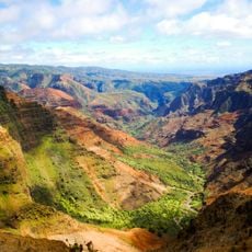
Waimea Canyon State Park
1190.7 km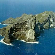
Nihoa
1060.6 km
Russian Fort Elizabeth
1185.4 km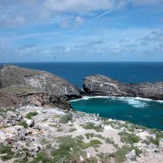
Necker Island
911.5 km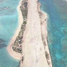
Tern Island
861.8 km
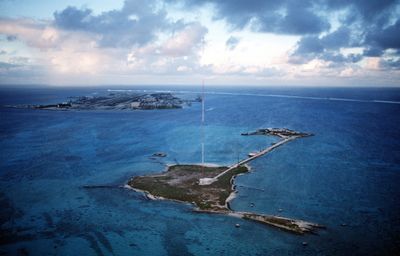
WWVH
1178.2 km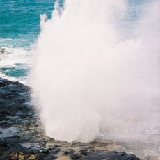
Spouting Horn
1197.6 km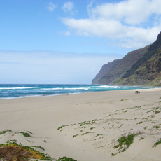
Polihale State Park
1184.9 km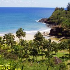
Allerton Garden
1197.8 km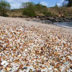
Glass Beach
1190 km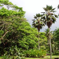
McBryde Garden
1199.1 km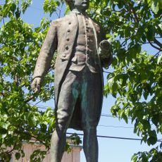
Cook Landing Site
1185.2 km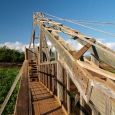
Hanapepe Swinging Bridge
1190.5 km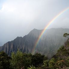
Koke'e State Park
1195.2 km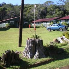
Civilian Conservation Corps Camp in Koke'e State Park
1195 km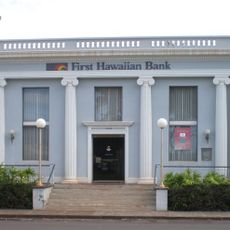
Bishop National Bank of Hawaii
1185.3 km
Camp Sloggett
1195.5 km
Gulick-Rowell House
1185.2 km
Yamase Building
1185.1 km
Tanager Peak
1061.1 km
Olu Pua Botanical Garden and Plantation
1199.3 km
Kahana Valley
1193.7 km
Nualolo Kai Beach
1192.9 km
Kahuama‘a Flat
1197.8 km
Miloliʻi Beach
1190.9 kmReviews
Visited this place? Tap the stars to rate it and share your experience / photos with the community! Try now! You can cancel it anytime.
Discover hidden gems everywhere you go!
From secret cafés to breathtaking viewpoints, skip the crowded tourist spots and find places that match your style. Our app makes it easy with voice search, smart filtering, route optimization, and insider tips from travelers worldwide. Download now for the complete mobile experience.

A unique approach to discovering new places❞
— Le Figaro
All the places worth exploring❞
— France Info
A tailor-made excursion in just a few clicks❞
— 20 Minutes