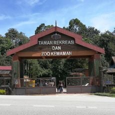
Kemaman, Administrative district in Terengganu, Malaysia.
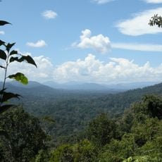
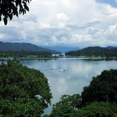
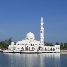
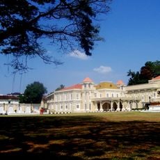
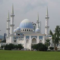
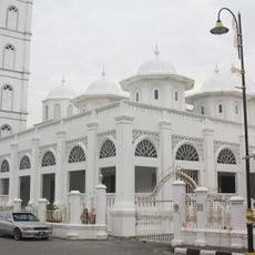
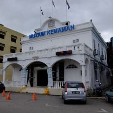
Kemaman is an administrative district in Terengganu stretching across approximately 2,535 square kilometers along Malaysia's east coast. It includes coastal areas, Chukai as its main administrative hub, and facilities like schools, healthcare centers, and Mesra Mall.
The area appeared on maps as Kole during the 2nd century BC when charted by the geographer Ptolemy. Current settlement patterns took shape around 300 years ago.
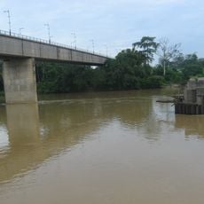
Local markets display traditional Malaysian dishes like nasi dagang and keropok lekor, prepared by fishing families who have lived here for generations. These foods show how the sea shapes daily eating habits in the region.
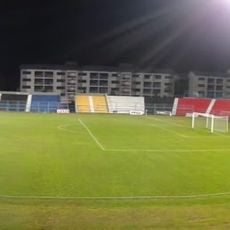
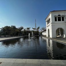
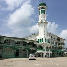
Visitors exploring the area should focus on coastal sections and Chukai town, with travel easier during drier months. The district has decent road connections that make getting around straightforward.
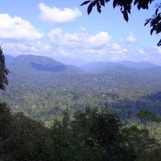
The name Kemaman comes from two words: 'kera' meaning monkey and 'maman,' a plant that drew these animals to feed in the evenings. This ancient connection between wildlife and vegetation still reflects the area's natural diversity today.
The community of curious travelers
AroundUs brings together thousands of curated places, local tips, and hidden gems, enriched daily by 60,000 contributors worldwide.