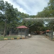
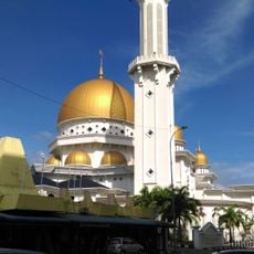
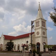
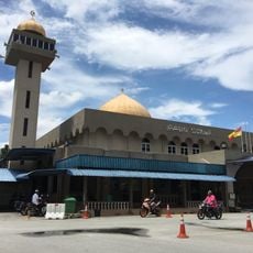
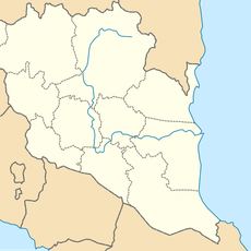
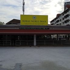
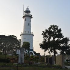
Sabak Bernam, Administrative district in northwestern Selangor, Malaysia
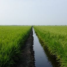
Sabak Bernam is an agricultural district in northwestern Selangor that stretches along the Strait of Malacca and borders Perak to the north via the Bernam River. The area is divided into five administrative zones: Bagan Nakhoda Omar, Panchang Bedena, Pasir Panjang, Sabak, and Sungai Panjang.
The district was formally established in 1977 under Selangor's administration, marking its transition into a structured local governance system. This development allowed for organized management of the agricultural region and its growing communities.
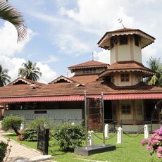
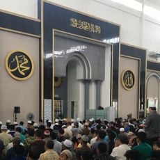
The local population includes many people of Javanese descent whose heritage shapes the community's festivals, cooking styles, and social gatherings. You can see how these traditions continue to influence daily life throughout the district.
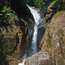
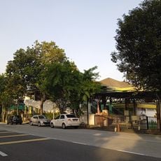
The area is relatively flat and crossed by roads that make it easy to explore the villages and farmland. Having transportation is helpful when visiting different parts of the district and getting a feel for the rural communities.
The district is a major rice-producing region in Malaysia, and rice paddies shape the landscape across much of the area. The cultivation and harvest of rice form the backbone of the local economy and daily life.
The community of curious travelers
AroundUs brings together thousands of curated places, local tips, and hidden gems, enriched daily by 60,000 contributors worldwide.