Aymaraes Province, Administrative province in Apurimac Department, Peru
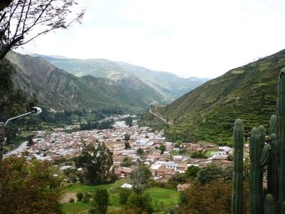
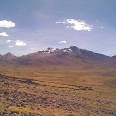
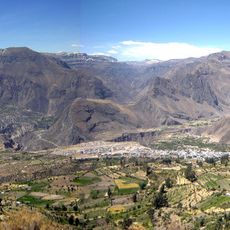
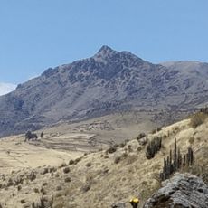
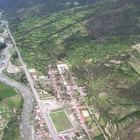
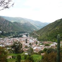
Aymaraes Province is an administrative division in Apurímac Department, located in the mountains of southern Peru with seventeen districts. Chalhuanca serves as the provincial capital and hub for local government and commerce.
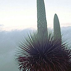
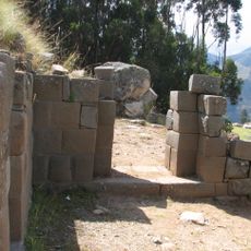
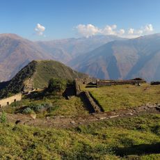
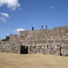
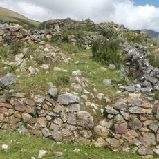
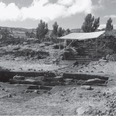
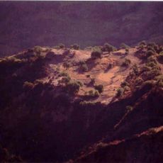
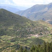
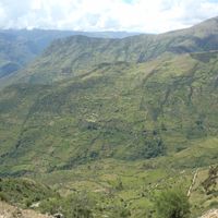
Quechua and Aymara peoples originally settled this region and developed agricultural terracing methods suited to the mountain terrain. Archaeological remains show how these communities organized their societies and trade networks.
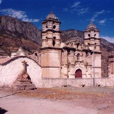
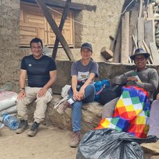
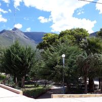
Quechua speakers form the main community here, and you will notice traditional celebrations marking the agricultural calendar and local patron saints throughout the year.
Roads connect all seventeen districts to Chalhuanca, making travel between communities relatively straightforward. The dry season offers the best conditions for exploring the region on foot or by vehicle.
Archaeological sites reveal that early inhabitants performed advanced surgical procedures, including skull operations that healed successfully. These discoveries show that pre-Columbian communities possessed remarkable medical knowledge.
Location: Apurimac Department
Capital city: Chalhuanca
Shares border with: Abancay Province, Andahuaylas Province, Antabamba Province, Parinacochas Province
GPS coordinates: -14.30100,-73.23100
Latest update: December 8, 2025 13:44
Choquequirao
108.1 km
Cotuahusi canion
110 km
Sayhuite
95.8 km
Sara Sara
116.3 km
Ampay National Sanctuary
88.4 km
Cotahuasi Subbasin Landscape Reserve
90 km
Suntur
77.4 km
Titankayuq
116 km
Puente Pachachaca
77.8 km
Cañón del Apurímac
106.8 km
Inti Watana, Ayacucho
115 km
Sanctuary of Our Lady of Cocharcas
94.6 km
Inka Wasi
103.2 km
Inka Wasi, Ayacucho
118.9 km
Usnu, Ayacucho
106.4 km
Ampay
88.9 km
Yanaca
13.4 km
Ccarhuarazo
57.5 km
Awkiwatu
86 km
Iglesia San Juan Bautista de Vilcashuamán
106.2 km
Campanayuq Rumi
105.5 km
Huiñao
108 km
Virgin of the Rosary Cathedral, Abancay
83.1 km
Huaca Curamba
76.8 km
Jardín botánico Andino Pitunilla
105 km
Kunturillu
122.4 kmVilcabamba River
115.9 km
Photowalk in Choquequirao de Pariachi taller antropología unmsm
108.3 kmVisited this place? Tap the stars to rate it and share your experience / photos with the community! Try now! You can cancel it anytime.
Chalhuanca District
Capaya District
Caraybamba District
Chapimarca District
Colcabamba District
Cotaruse District
Huayllo District
Justo Apu Sahuaraura District
Lucre District
Pocohuanca District
San Juan de Chacña District
Sañayca District
Soraya District
Tapairihua District
Tintay District
Toraya District
Yanaca District
Discover hidden gems everywhere you go!
From secret cafés to breathtaking viewpoints, skip the crowded tourist spots and find places that match your style. Our app makes it easy with voice search, smart filtering, route optimization, and insider tips from travelers worldwide. Download now for the complete mobile experience.
A unique approach to discovering new places❞
— Le Figaro
All the places worth exploring❞
— France Info
A tailor-made excursion in just a few clicks❞
— 20 Minutes