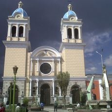
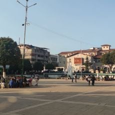
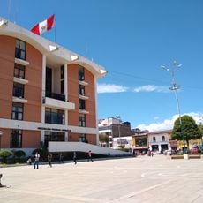
Huancavelica Department, Administrative region in central Peru
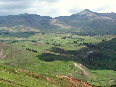
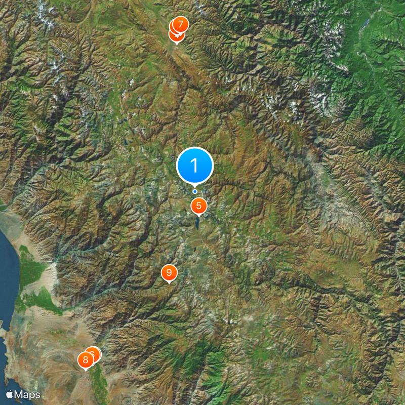
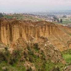
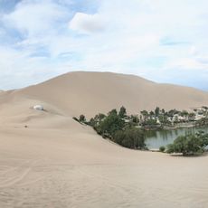
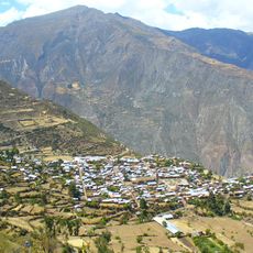
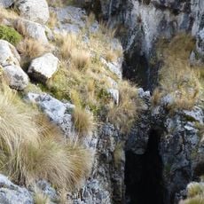
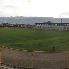
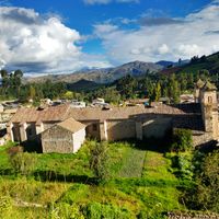
Huancavelica Department is an administrative region in central Peru, encompassing seven provinces across the Andes and covering mountainous terrain at considerable altitude. The area sits at an average elevation above 3,000 meters and ranges from high cordilleras to valleys where most settlements are located.
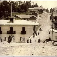
This administrative territory was established as a separate department in 1822, just months after Peruvian independence. Three years later it was temporarily merged with Ayacucho, before regaining its separate status again in 1839.
Most residents grow up speaking Quechua at home, using Spanish as a second language for official matters and contact with visitors. This linguistic pattern shapes daily life in markets, at festivals, and during conversations between villages, where traditional customs remain active.
Several national highways connect this region to Lima on the coast and to Ayacucho to the south, while a railway links the departmental capital to the city of Huancayo. The high elevation requires some acclimatization upon arrival, and warm clothing is advisable year-round.
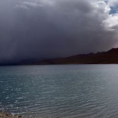
The climate varies dramatically over short distances, from year-round cold conditions at high elevations to zones with milder weather in lower valleys. This diversity allows different farming practices and ways of life within a relatively compact area.
The community of curious travelers
AroundUs brings together thousands of curated places, local tips, and hidden gems, enriched daily by 60,000 contributors worldwide.