
N'zeto, municipality of Angola
Location: Zaire Province
Elevation above the sea: 6 m
GPS coordinates: -7.22897,12.86499
Latest update: March 2, 2025 22:52
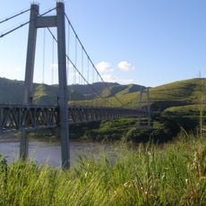
Matadi Bridge
168.8 km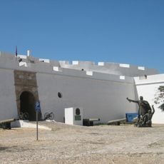
Fortress of São Miguel
180.1 km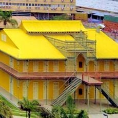
Palácio de Ferro
180.9 km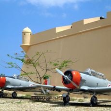
Museum of the Armed Forces
180.3 km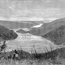
Yellala Falls
183.4 km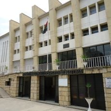
Museu Nacional de História Natural de Angola
181.3 km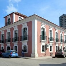
Museu Nacional de Antropologia
180.9 km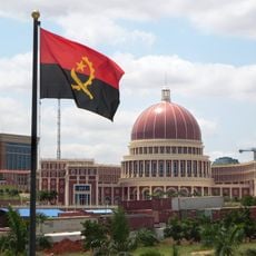
National Assembly Building of Angola
181.8 km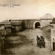
Fort de Shinkakasa
153.9 km
Avenida Comandante Valódia
181.8 km
Cine Atlântico
182.7 km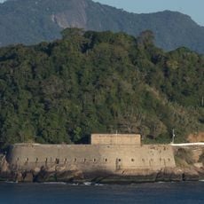
Saint Peter of the Bar Fortress
178.1 km
Prédio do Baleizão
180.5 km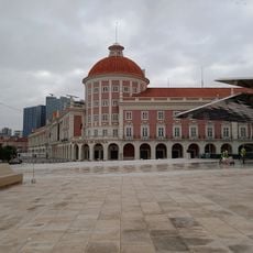
Coin Museum
180.7 km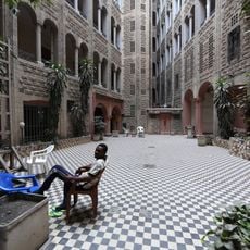
Hotel Métropole, Matadi
169.9 km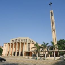
Holy Family Church
182.3 km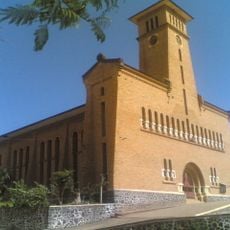
Our Lady of the Assumption Cathedral, Boma
154.6 km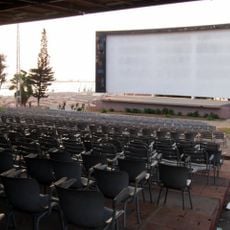
Cine‐Esplanada Miramar
180.6 km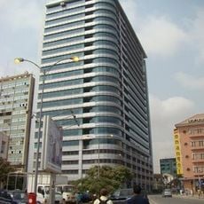
Edificio Sonangol
181 km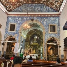
Church of Carmo
181.3 km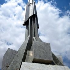
Mausoleum of Agostinho Neto
181.8 km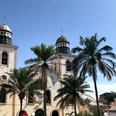
Church of Our Lady of Remedies
180.9 km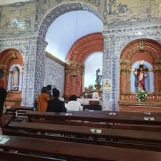
Nossa Senhora da Nazaré
180.6 km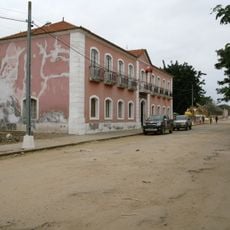
Câmara Municipal, Ambriz
74.5 km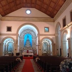
Igreja de Jesus Sé Catedral
181.2 km
Monument of the Unknown Soldier
180.7 km
Sonangol
180.8 km
Lady Ana Joaquina Courthouse
181 kmReviews
Visited this place? Tap the stars to rate it and share your experience / photos with the community! Try now! You can cancel it anytime.
Discover hidden gems everywhere you go!
From secret cafés to breathtaking viewpoints, skip the crowded tourist spots and find places that match your style. Our app makes it easy with voice search, smart filtering, route optimization, and insider tips from travelers worldwide. Download now for the complete mobile experience.

A unique approach to discovering new places❞
— Le Figaro
All the places worth exploring❞
— France Info
A tailor-made excursion in just a few clicks❞
— 20 Minutes