Enable Location

We need your location to show you interesting places around you

Discover nearby places

Find interesting locations and hidden gems around you

Precise directions

Get accurate directions and distances to places

Your location is never shared with other users. It's only used when you tap the location button.

El Chaltén

Log in to your account

Start exploring — it's free

Trusted by 61,534 travelers worldwide

Continue with Google
Continue with Apple
or

We will send you a code to connect

By continuing, you accept our Terms and Conditions and our Privacy Policy

Check your inbox

We've sent a pincode in your inbox. Please enter the code below.

El Chaltén

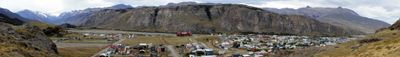
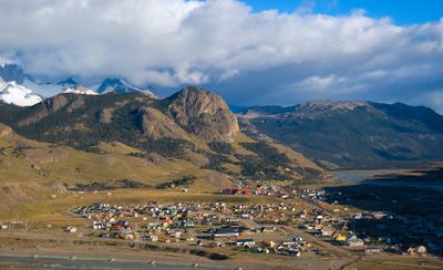
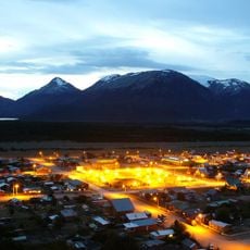
El Chaltén, Mountain hiking destination in Los Glaciares National Park, Argentina

Description

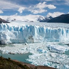
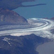
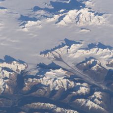
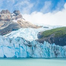
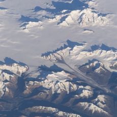
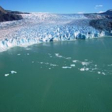
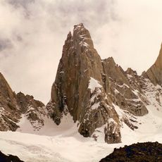
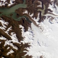
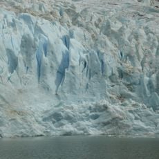
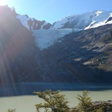
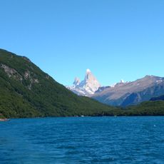
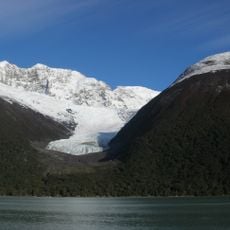
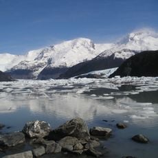
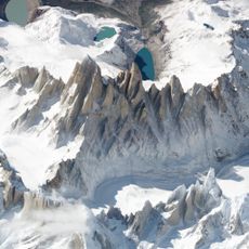
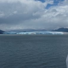
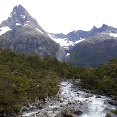
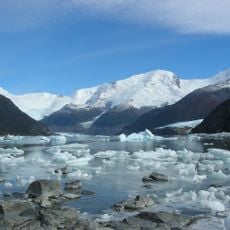
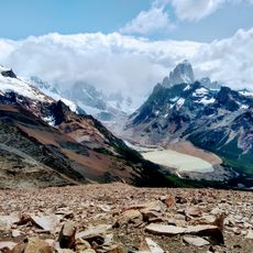
El Chaltén is a small town located within Los Glaciares National Park that serves as a hub for mountain hiking activities. Trails from here lead to alpine lakes, glaciers, and high peaks including Mount Fitz Roy and Cerro Torre, with varying views depending on cloud cover and weather conditions.

History

The Argentine government established El Chaltén in 1985 as a settlement to reinforce territorial claims during border negotiations with Chile. This strategic founding was part of broader diplomatic efforts to solidify Argentina's presence in the Patagonian region.

Culture

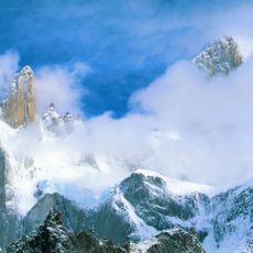
The town takes its name from the Tehuelche people, who called Mount Fitz Roy the 'smoking mountain' because clouds constantly wrap around its peak. Locals and visitors still use this reference today when they watch the dramatic cloud patterns that frequently cover the summit.

Practical

Weather changes rapidly in the mountains, so wear layered clothing and bring waterproof gear to stay prepared for sudden shifts. Water sources are sparse on many trails, so carry enough in containers and plan to refill at rivers where available.

Did you know?

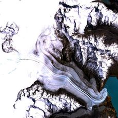
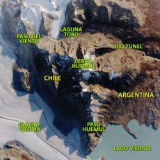
The Huemul Circuit traverses over 60 kilometers of remote Patagonian wilderness and requires hikers to cross rivers using steel cables and harnesses at certain points. Only experienced and sure-footed hikers venture onto this demanding and seldom-visited route.

Elevation above the sea
397 m
GPS coordinates
-49.33141,-72.88613
Latest update
December 12, 2025 18:21

AroundUs brings together thousands of curated places, local tips, and hidden gems, enriched daily by 60,000 contributors worldwide. Discover all places nearby (Lago Argentino Department).

Remote locations in Argentina

The Argentine landscape offers far more than its well-known urban centers. In the northwest, geological formations like Quebrada de las Conchas with its red sandstone cliffs and Talampaya National Park with its eroded canyons draw visitors. Quebrada de Humahuaca displays layers from millions of...

« El Chaltén - Mountain hiking destination in Los Glaciares National Park, Argentina » is provided by Around Us (aroundus.com). Images and texts are derived from Wikimedia project under a Creative Commons license. You are allowed to copy, distribute, and modify copies of this page, under the conditions set by the license, as long as this note is clearly visible.

Discover hidden gems everywhere you go!

From secret cafés to breathtaking viewpoints, skip the crowded tourist spots and find places that match your style. Our app makes it easy with voice search, smart filtering, route optimization, and insider tips from travelers worldwide. Download now for the complete mobile experience.

Around Us App Screenshot

A unique approach to discovering new places

Le Figaro

All the places worth exploring

France Info

A tailor-made excursion in just a few clicks

20 Minutes

Around Us
Travel Guide & Maps
Download

Send to your phone

QR Code
1

Open the camera app on your mobile.

2

Point at the QR code with your camera. A notification will appear.

3

Tap the notification to open the link.