
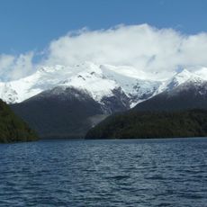
Palena, comuna de Chile
Location: Palena Province
Capital city: Palena
Elevation above the sea: 1,090 m
GPS coordinates: -43.68240,-71.98335
Latest update: March 3, 2025 09:40
Los Alerces National Park
97.6 km
Chaitén
108.4 km
Puyuhuapi
85.1 km
Pumalín Park
129.1 km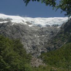
Queulat National Park
85.7 km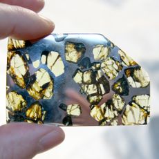
Esquel (meteorite)
101.8 km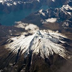
Corcovado Volcano
85.1 km
Corcovado National Park
66.1 km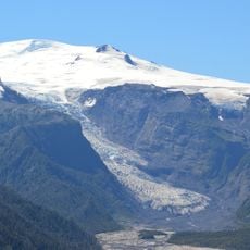
Michinmahuida
105.2 km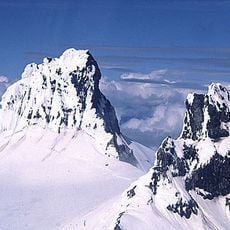
Cerro Melimoyu
82.8 km
Isla Magdalena National Park
148.7 km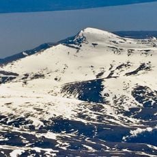
Mentolat
142.6 km
Melimoyu National Park
99.5 km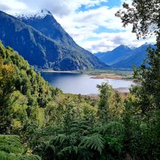
Parque Nacional Pumalín
85 km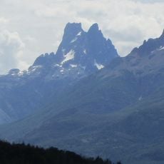
Cerro Dos Picos
138.4 km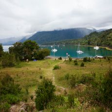
Porcelana (Chile)
141.1 km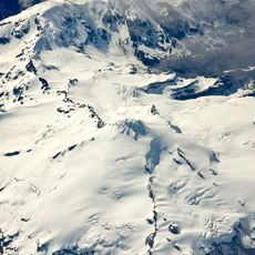
Yanteles
69.9 km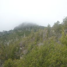
Cerro Currumahuida
137.6 km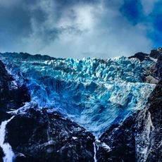
Queulat Glaciers
92.8 km
Casa Ludwig
84.9 km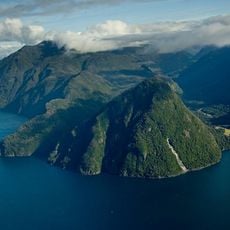
Reñihué Fjord
139.9 km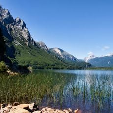
Lago Las Torres National Reserve
125.6 km
Cerro Situación
85.1 km
Capel Bethel, Trevelin
77.8 km
Museo Refugio de Navegantes
149.8 km
Palena Volcanic Group
40.6 km
Predio donde se encuentra el monumento conmemorativo del Cacique Casimiro Biguá
128.2 km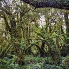
Enchanted Forest
111.5 kmReviews
Visited this place? Tap the stars to rate it and share your experience / photos with the community! Try now! You can cancel it anytime.
Discover hidden gems everywhere you go!
From secret cafés to breathtaking viewpoints, skip the crowded tourist spots and find places that match your style. Our app makes it easy with voice search, smart filtering, route optimization, and insider tips from travelers worldwide. Download now for the complete mobile experience.

A unique approach to discovering new places❞
— Le Figaro
All the places worth exploring❞
— France Info
A tailor-made excursion in just a few clicks❞
— 20 Minutes