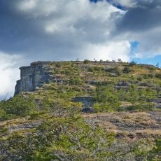
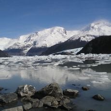
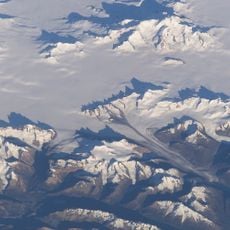
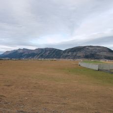
Sierra Baguales, Mountain range near Puerto Natales, Chile and Argentina.
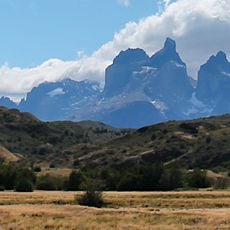
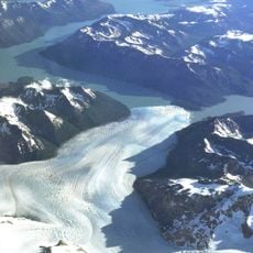
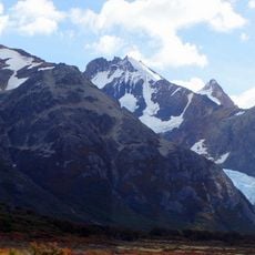
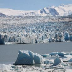
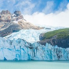
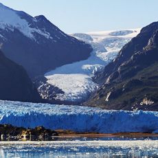
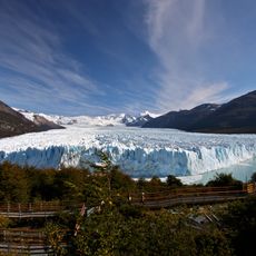
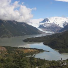
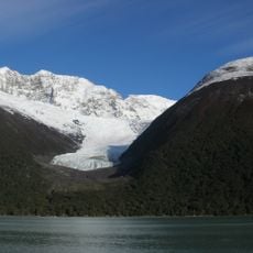
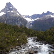
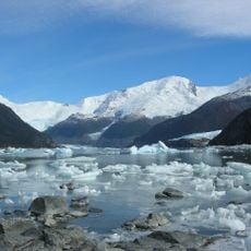
Sierra Baguales is a 60-kilometre east–west mountain chain in the southernmost Andes, secondary to the main Andean chain further west and running along the Chile–Argentina border near Puerto Natales and Río Turbio. On the Chilean side it separates the De las Chinas and Baguales river basins. Its rocks belong to formations of the Magallanes Basin, and the range holds a series of cirques carved by Pleistocene glaciers that stood apart from the ice sheets to the west.
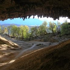
The sources record no colonial naming story. What they document is human presence: lithic artifacts found on the eastern slopes show that people occupied the eastern foothills no later than 4,500 years before present. The range lies on the Chile-Argentina border near Puerto Natales and Río Turbio.
The name Baguales comes from the Spanish word for wild or feral horses, which gave the range its name. On the eastern slopes, archaeologists have found stone tools showing that people used this land at least 4,500 years ago. Visitors today see the same open slopes where those horses once roamed.
The range runs east–west for about 60 km along the Chile–Argentina border, near Puerto Natales and Río Turbio; access is from these towns. On the Chilean side it separates the De las Chinas and Baguales river basins. Glacial cirques cut the slopes, and the eastern foothills hold the lithic artifacts, so plan routes around valley heads and steep cirque walls.
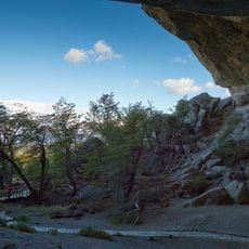
The eastern slopes have yielded stone tools showing people used the range at least 4,500 years ago. The rock layers also hold Nothofagus leaves in the Río Leona Formation and shark teeth in the Loreto Formation, evidence of a marine past.
The community of curious travelers
AroundUs brings together thousands of curated places, local tips, and hidden gems, enriched daily by 93,001 contributors worldwide.