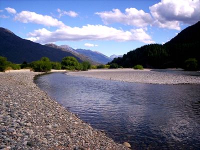
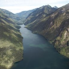
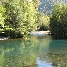
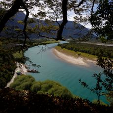
Azul River, Mountain river near El Bolsón, Argentina
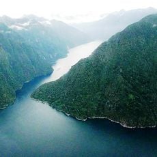
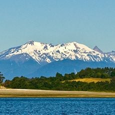
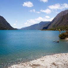
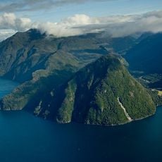
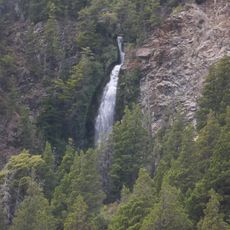
The Azul River is a mountain waterway in Patagonia that originates in the Andes and flows across Chubut province toward a major lake. The river cuts through rolling terrain and links multiple areas between high peaks and lower valleys.
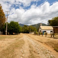
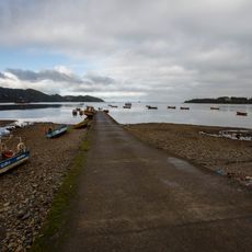
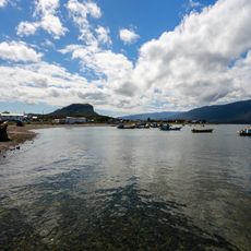
The river served early settlers in Patagonia as an important route for traveling and trading between different areas. Its role as a link between mountain regions and communities shaped how the area developed.
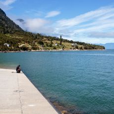
Local communities depend on the river for fishing and as a water source in their daily routines. The waterway holds deep meaning in how people connect with the Patagonian landscape.
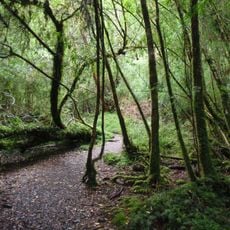
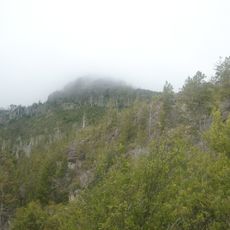
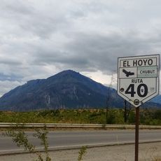
The river is easiest to reach from El Bolsón by heading west along local roads and following marked paths through the area. The terrain can be hilly, so sturdy footwear and care when walking are helpful.
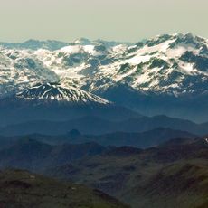
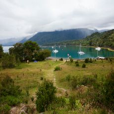
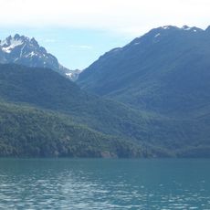
Along the route, walkers can reach viewpoints where distant mountain peaks and a larger water body come into view. These views show how the water system connects the high country with the lakes below.
The community of curious travelers
AroundUs brings together thousands of curated places, local tips, and hidden gems, enriched daily by 60,000 contributors worldwide.