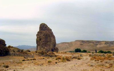
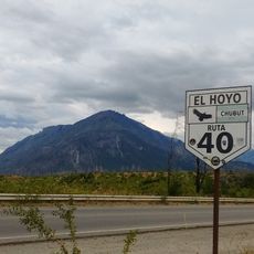
Piedra Parada, Protected Natural Area in Chubut Province, Argentina.
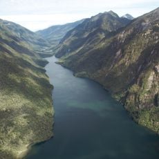
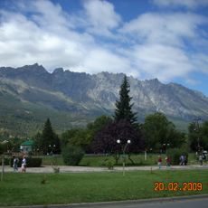
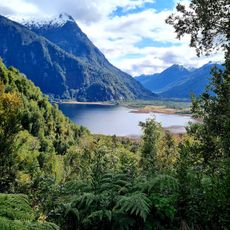
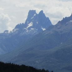
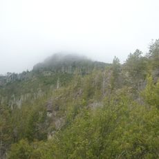
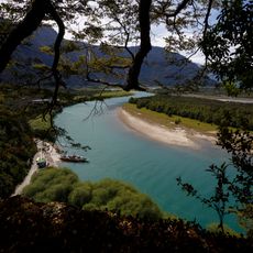
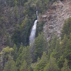
Piedra Parada is a protected natural area in Chubut featuring steep rock cliffs that rise about 120 meters (394 feet) above Patagonian steppe terrain spanning 132 hectares. The landscape consists of volcanic formations that make up the main climbing and hiking destination in the region.
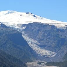
The rock formations were created roughly 70 million years ago during the Late Cretaceous period through volcanic processes in the region. This geological activity shaped the landscape that is now protected as a natural area.
The name comes from the striking rock formation that dominates the landscape and defines the place. People come here to climb and explore nature, reflecting how important this site has become for outdoor activities in the region.
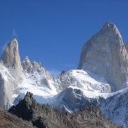
The area is most accessible between October and March when weather conditions favor climbing and hiking activities. Visitors can drive from Esquel to reach the site and find various climbing routes suited to different skill levels.
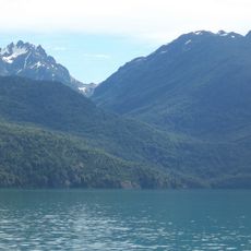
The area has become a destination for climbers seeking specific rock routes on the volcanic formations that draw people from across the region. Visitors may also encounter rare wildlife species native to Patagonia that inhabit this landscape.
Location: Chubut Province
GPS coordinates: -42.66000,-70.10190
Latest update: December 6, 2025 17:41
Patagonia extends across the southern reaches of Chile and Argentina, encompassing a range of natural landscapes from active glaciers to volcanic peaks. The region presents a mixture of ice, stone and water, with national parks protecting thousands of square miles of undeveloped terrain. The land...
Los Alerces National Park
147.8 km
Lago Puelo National Park
140.4 km
Pumalín Park
196.3 km
Cerro Otto
199 km
Esquel
104.1 km
Cerro Piltriquitrón
134.6 km
Cañadón Asfalto Formation
110.3 km
Michinmahuida
192.2 km
Quintupeu Fjord
196.6 km
Hornopirén National Park
196.7 km
Francisco P. Moreno Museum of Patagonia
197.2 kmComau Fjord
195.8 km
Parque Nacional Pumalín
197.8 km
Cerro Dos Picos
151.7 km
Segundo Corral
158.8 km
Porcelana
193.8 km
Cerro Currumahuida
165.1 km
Cerro Pirque provincial park
127.1 km
Cerro Aguja Sur
152.9 km
Centro de Congresos y Convenciones de Bariloche
196.5 km
Cerro Situación
131.5 km
Punta Maldonado (Cochamó)
197.6 km
Capel Bethel, Trevelin
121.4 km
Fitalancao train station
124.4 km
Área Natural Protegida Los Altares
196.6 km
Cascada de la Virgen
142.6 km
Predio donde se encuentra el monumento conmemorativo del Cacique Casimiro Biguá
157.8 km
Centro Cívico e Intendencia de Parques Nacionales
197.3 kmVisited this place? Tap the stars to rate it and share your experience / photos with the community! Try now! You can cancel it anytime.
Discover hidden gems everywhere you go!
From secret cafés to breathtaking viewpoints, skip the crowded tourist spots and find places that match your style. Our app makes it easy with voice search, smart filtering, route optimization, and insider tips from travelers worldwide. Download now for the complete mobile experience.
A unique approach to discovering new places❞
— Le Figaro
All the places worth exploring❞
— France Info
A tailor-made excursion in just a few clicks❞
— 20 Minutes