
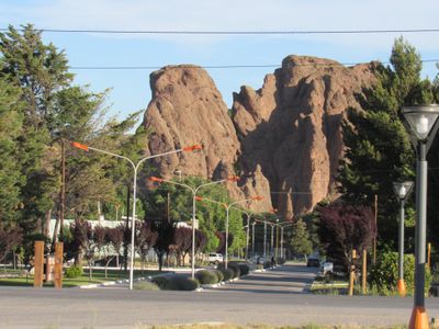
Collón Curá Department, department of Argentina
Location: Neuquén Province
Capital city: Piedra del Águila
Elevation above the sea: 568 m
GPS coordinates: -40.04833,-70.07500
Latest update: March 20, 2025 10:19
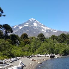
Lanín
130.4 km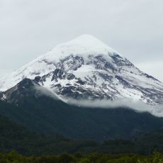
Lanín National Park
109.9 km
Chapelco
102.4 km
Laguna Blanca National Park
114.7 km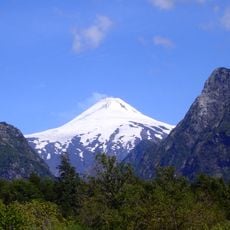
Villarrica National Park
150.8 km
Cerro Bayo
151.5 km
Quetrupillán
153.4 km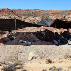
Bajada Colorada Formation
42.3 km
Collón Curá Formation
62 km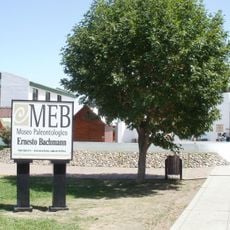
Ernesto Bachmann Paleontological Museum
141.2 km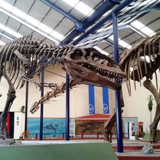
Museo Carmen Funes
145.6 km
Los Molles Formation
103.9 km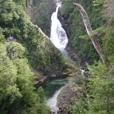
Cascada Chachín
136.5 km
Sierra del Chachil
130.8 km
Huanquihue Group
129.7 km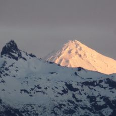
Cerro Quinquilil
143.2 km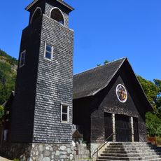
Category:Iglesia de San Sebastián, Curarrehue
150.7 km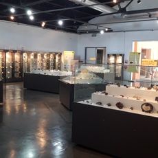
Museo Olsacher Zapala
127.1 km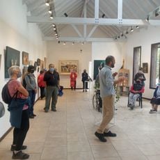
Museo de Arte Contemporáneo Conrad Meier
154.5 km
Cerro Lonco Vaca
74.7 km
Cerro Arañomún
90.4 km
Cerro Tres Puntas
145.5 km
Cerro Santo Domingo
101.6 km
Cerro Palau Mahuida
146.4 km
Cerro Charahuilla
76.5 km
Cerro del Sapo
88.4 km
Blanca, Laguna
117.2 km
Cerro Mesa
145.7 kmReviews
Visited this place? Tap the stars to rate it and share your experience / photos with the community! Try now! You can cancel it anytime.
Discover hidden gems everywhere you go!
From secret cafés to breathtaking viewpoints, skip the crowded tourist spots and find places that match your style. Our app makes it easy with voice search, smart filtering, route optimization, and insider tips from travelers worldwide. Download now for the complete mobile experience.

A unique approach to discovering new places❞
— Le Figaro
All the places worth exploring❞
— France Info
A tailor-made excursion in just a few clicks❞
— 20 Minutes