Lumaco, Administrative town in Malleco Province, Chile
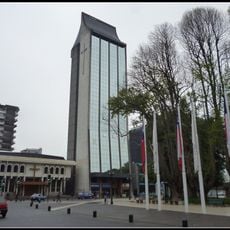
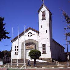
Lumaco is an administrative town in Malleco Province, located in the Araucanía Region with both urban and rural areas spread across its territory. The town sits at about 118 meters in elevation and is surrounded by forests, farmland, and river valleys.
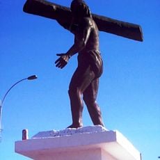
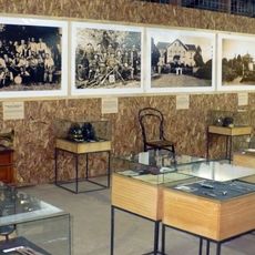
This location witnessed major conflicts between Mapuche forces and Spanish conquistadors during the 16th century, including the Battle of Curalaba as a defining moment. These conflicts shaped the region's history and the interactions between cultures that followed.
The name Lumaco comes from Mapudungun, the language of the Mapuche people, meaning water of the luma tree – a reference to the deep indigenous roots of this place. As you walk through town, you notice this cultural blend reflected in street names and how people use the local spaces.
The town is located roughly 120 kilometers northeast of Temuco and is accessible by road through various routes depending on your starting point. Visitors should prepare for changing weather, especially rain during autumn and winter months.
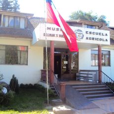
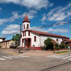
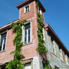
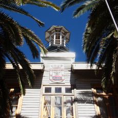
Italian immigrants from Bologna settled here in the early 1900s and created neighborhoods with street names that blend Italian, Chilean, and Mapuche references. This unusual mix of influences is still visible today in the local character and appearance of these areas.
Location: Malleco Province
Elevation above the sea: 118 m
Website: https://munilumaco.cl
GPS coordinates: -38.15000,-72.91667
Latest update: December 7, 2025 20:49
Malleco Viaduct
46.8 km
Estadio Municipal Germán Becker
70.9 km
Nahuelbuta National Park
40 km
Pablo Neruda Railway Museum
70.8 km
Fort Tucapel
57.9 km
Mercado Modelo
71.4 km
Museo Regional de la Araucanía
70.9 km
Fuerte de Purén
18.5 km
Plaza de Armas
42.7 km
St. Joseph Cathedral, Temuco
71.5 km
Nueva Imperial Railway Bridge
66 km
Torre Campanario
71.5 km
Monument to Caupolicán (Temuco)
71.1 km
Museo Histórico Dillman S. Bullock
42.5 km
Monumento a la clava
57.5 km
Plaza Teniente Dagoberto Godoy
71 km
Parroquia Inmaculada Concepción (Angol)
43.1 km
Biblioteca Municipal Galo Sepúlveda Fuentes
70.9 km
Iglesia de San Felipe Neri
8.3 km
Parroquia San Enrique de Purén
19 km
Iglesia luterana de Temuco
70.3 km
Church of St. Leonard of Port Maurice
46.9 km
Museo Histórico de Purén
18.9 km
Casa Schmidlin
18.9 km
Eltun de Antiquina
43 km
Memorial de Lautaro
56.8 km
Memorial de Detenidos Desaparecidos y Ejecutados Políticos de la Región de la Araucanía
70.4 km
Edificio Consistorial de Collipulli
47.2 kmVisited this place? Tap the stars to rate it and share your experience / photos with the community! Try now! You can cancel it anytime.
Discover hidden gems everywhere you go!
From secret cafés to breathtaking viewpoints, skip the crowded tourist spots and find places that match your style. Our app makes it easy with voice search, smart filtering, route optimization, and insider tips from travelers worldwide. Download now for the complete mobile experience.
A unique approach to discovering new places❞
— Le Figaro
All the places worth exploring❞
— France Info
A tailor-made excursion in just a few clicks❞
— 20 Minutes