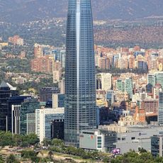
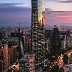
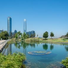
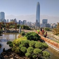
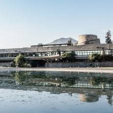
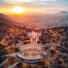
Cerro San Luis, Mountain summit in Santiago Metropolitan Region, Chile.
Cerro San Luis is a hill of 696 metres in the El Golf neighbourhood of Las Condes, Santiago, with a prominence of 70 metres. Its slopes were landscaped from 1935 as part of the El Golf Norte district, and the Club de Golf Los Leones opened on its foothills in 1937. A 19-storey residential tower was built on the hill in 2009.
A pre-Hispanic pucará stood on the summit above the settlement of the curaca Butacura; its foundations were later found during construction of the El Cacique building at Luz 3040. Urbanisation at the foot of the hill began with the El Golf Norte neighbourhood, designed in 1935 by architect Tomás Reyes Vicuña, and was consolidated when the Club de Golf Los Leones opened on the slopes in 1937. In 1946 the southern slope was zoned for housing, and in 2009 the hill's first high-rise, a 19-storey residential building, was inaugurated.
The hill gave its name to the El Golf neighbourhood, whose streets were laid out by architect Tomás Reyes Vicuña in 1935 as a garden-like enclave for Santiago's traditional elite. The Los Leones golf club opened on its slopes in 1937, and the hilltop pucará of the promaucae period was found in the foundations of the El Cacique building at Luz 3040.
The hike to the summit takes about three hours and follows clearly marked trails that are easy to navigate. Plan to start early in the day and bring plenty of water and sun protection for the climb.
The hill's summit once held a pucará, a fortified site of the Promaucae period, above the village of the curaca Butacura. Foundations linked to that settlement were found in the footings of the El Cacique building at Luz 3040, in the El Golf neighbourhood below.
The community of curious travelers
AroundUs brings together thousands of curated places, local tips, and hidden gems, enriched daily by 94,225 contributors worldwide.