
Acora District, district of the Puno Province in the Puno region, Peru
Location: Puno Province
Inception: May 2, 1854
Capital city: Ácora
Elevation above the sea: 3,867 m
Website: http://www.muniacora.gob.pe
Shares border with: Ilave District, Conduriri District, Santa Rosa District, Carumas District, Pichacani District, Plateria District
Website: http://muniacora.gob.pe
GPS coordinates: -15.97511,-69.80408
Latest update: April 21, 2025 15:59
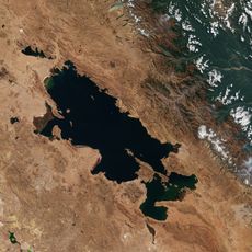
Titicaca
53.9 km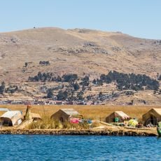
Uros floating islands
24.8 km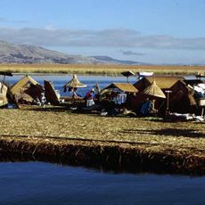
Titicaca National Reservation
32.6 km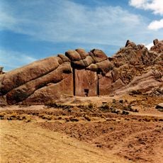
Aramu Muru
35.6 km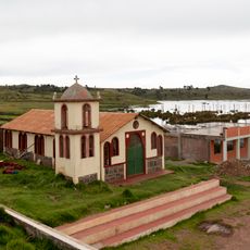
Sillustani
47.3 km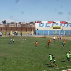
Estadio Guillermo Briceño Rosamedina
62.7 km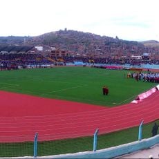
Estadio E. Torres Belón
27.9 km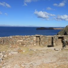
Chinkana
64.4 km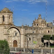
Santa Catalina de Siena
64.3 km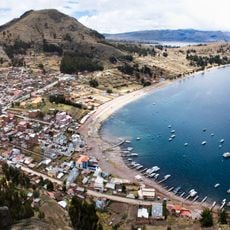
Khapia
81.1 km
Templo de Santiago Apostol de Lampa
90.8 km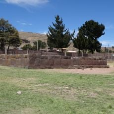
Inca Uyo
12.9 km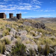
Kutimpu
21.8 km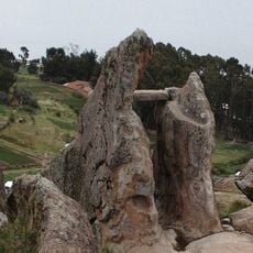
Pachat'aqa
80 km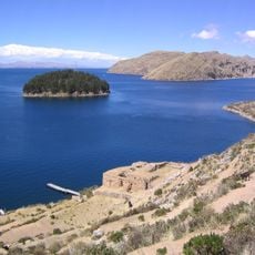
Pillkukayna
71.1 km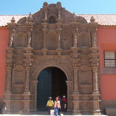
San Juan de Letran, Juli
45.3 km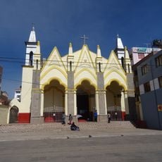
San Juan Bautista, Puno
28.5 km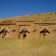
Iñaq Uyu
78.8 km
Intikancha
89.3 km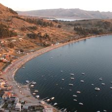
Asiru Phat'jata
77.7 km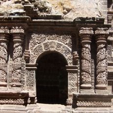
Santa Cruz de Jerusalen, Juli
45 km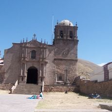
Cathedral of Juli
45.3 km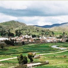
Puerto Acosta Municipality
86.4 km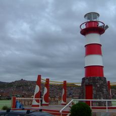
Puno Lighthouse
27.5 km
Nuestra Señora de la Asunción, Juli
45.7 km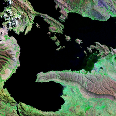
Cerro Khapia Reserved Zone Landscape Reserve
85.3 km
Convento Franciscano de Juliaca
64.5 km
Monasterio Benedictino de la Resurrección de Chucuito
12.8 kmReviews
Visited this place? Tap the stars to rate it and share your experience / photos with the community! Try now! You can cancel it anytime.
Discover hidden gems everywhere you go!
From secret cafés to breathtaking viewpoints, skip the crowded tourist spots and find places that match your style. Our app makes it easy with voice search, smart filtering, route optimization, and insider tips from travelers worldwide. Download now for the complete mobile experience.

A unique approach to discovering new places❞
— Le Figaro
All the places worth exploring❞
— France Info
A tailor-made excursion in just a few clicks❞
— 20 Minutes