Antabamba Province, Province in Apurímac, Peru
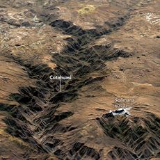
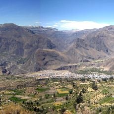
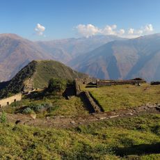
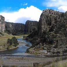
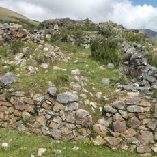
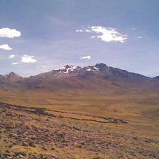
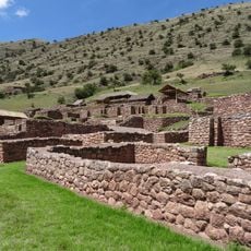
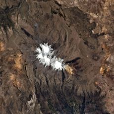
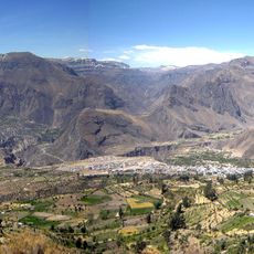
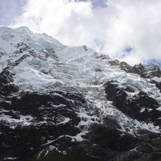
Antabamba Province is an administrative region in the Andes at elevations above 3,600 meters (11,800 feet), featuring mountainous terrain and high peaks. The territory comprises seven districts with the city of Antabamba as its main administrative hub.
This province was established as an administrative region within Apurímac Department and has maintained its territorial structure through Peru's various governmental changes. Its boundaries reflect the country's administrative evolution over time.
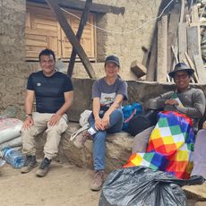
Quechua is the main language spoken here, and local communities maintain indigenous traditions in their daily lives. This heritage shapes how people interact and express their connection to the land.
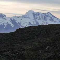
The region sits at high altitude where visitors should expect cold temperatures, especially at night and during winter months. The seven districts are spread across mountainous terrain, so planning ahead is important for exploration.
The region experiences dramatic temperature shifts between seasons, ranging from mild daytime conditions to freezing nights. These extremes shape how residents adapt and live in this high-altitude setting.
Location: Apurimac Department
Capital city: Antabamba
Shares border with: Abancay Province, Aymaraes Province, Cotabambas Province, Grau Province, Parinacochas Province, La Unión Province, Chumbivilcas Province
GPS coordinates: -14.41667,-72.75000
Latest update: December 10, 2025 15:52
Choquequirao
114.5 km
Cotuahusi canion
99.7 km
Sayhuite
96.9 km
Ampay National Sanctuary
94.5 km
Cotahuasi Subbasin Landscape Reserve
72.9 km
Suntur
106.2 km
Puente Pachachaca
86.3 km
Solimana
111.7 km
Cañón del Apurímac
110.8 km
Tarahuasi
110.8 km
Inka Wasi
108.5 km
Ampay
97.5 km
Tres Cañones Regional Conservation Area
156.6 km
Yanaca
47.6 km
Ccarhuarazo
109.7 km
Awkiwatu
87.1 km
Mawk'allaqta
115.8 km
Tirani
104.4 km
Huiñao
89.1 km
Virgin of the Rosary Cathedral, Abancay
87.9 km
Huaca Curamba
98.2 km
Hatun K'irawniyuq
114.4 km
Usqullu
118.2 kmVelille River
109 kmVilcabamba River
94.1 km
Photowalk in Choquequirao de Pariachi taller antropología unmsm
114.6 km
Nevado Humantay
118 km
Mirador del Sol
95.8 kmVisited this place? Tap the stars to rate it and share your experience / photos with the community! Try now! You can cancel it anytime.
Discover hidden gems everywhere you go!
From secret cafés to breathtaking viewpoints, skip the crowded tourist spots and find places that match your style. Our app makes it easy with voice search, smart filtering, route optimization, and insider tips from travelers worldwide. Download now for the complete mobile experience.
A unique approach to discovering new places❞
— Le Figaro
All the places worth exploring❞
— France Info
A tailor-made excursion in just a few clicks❞
— 20 Minutes